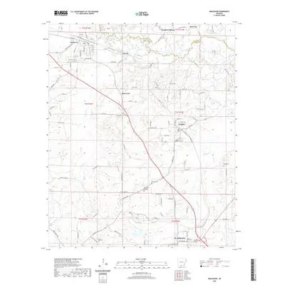
2020 Map of Smackover
USGS Topo · Published 2020About this map
Smackover and Norphlet anchor this portion of the South Arkansas oil fields, where the landscape is defined by a dense network of country roads and waterway drainages. The Smackover Cr snakes along the northern boundary, while smaller tributaries like Holmes Cr, Haynes Cr, and Flat Cr carve through the terrain toward the southern edge of the quadrangle near the outskirts of El Dorado.
Find a feature on this map
106 named features on this map. Tap any name to fly to it.
Don’t see what you’re looking for? This feature index may not catch every label — zoom into the map to look around manually.
Map Details
Editions of this 2020 Smackover Map
This is the sole edition of this map. No revisions or reprints were ever made.
Other maps of this area

1927 · El Dorado
USGS Topo · 1:62,500

1930 · El Dorado
USGS Topo · 1:62,500

1951 · El Dorado
USGS Topo · 1:62,500

1953 · El Dorado
USGS Topo · 1:250,000

1957 · El Dorado
USGS Topo · 1:250,000

1958 · El Dorado
USGS Topo · 1:250,000

1960 · El Dorado
USGS Topo · 1:250,000

1962 · Lisbon
USGS Topo · 1:24,000

1962 · Louann
USGS Topo · 1:24,000

1962 · Smackover NE
USGS Topo · 1:24,000