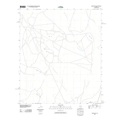
2010 Map of Smith Hills
USGS Topo · Published 2010About this map
Smith Hills and the adjacent Big Hill dominate this high-desert landscape in Presidio County, where the terrain is carved by complex drainage networks. The hydrological system is defined by the South Fork Alamito Creek and North Fork Alamito Creek, which wind through the quadrangle alongside seasonal channels such as Duncan Draw and Fourmile Draw. The landscape shows a pattern of ranch roads and open range characteristic of the Trans-Pecos region, converging at the topographic marker of Three Points.
Find a feature on this map
8 named features on this map. Tap any name to fly to it.
Don’t see what you’re looking for? This feature index may not catch every label — zoom into the map to look around manually.
Map Details
Editions of this 2010 Smith Hills Map
This is the sole edition of this map. No revisions or reprints were ever made.
Other maps of this area

1894 · Valentine
USGS Topo · 1:125,000

1894 · Fort Davis
USGS Topo · 1:125,000

1895 · Marfa
USGS Topo · 1:125,000

1895 · Alpine
USGS Topo · 1:125,000

1897 · Valentine
USGS Topo · 1:125,000

1897 · Fort Davis
USGS Topo · 1:125,000

1943 · Valentine
USGS Topo · 1:125,000

1954 · Fort Stockton
USGS Topo · 1:250,000

1958 · Fort Stockton
USGS Topo · 1:250,000

1959 · Marfa
USGS Topo · 1:250,000