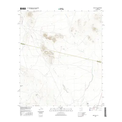
2016 Map of Smith Hills
USGS Topo · Published 2016About this map
North Fork Alamito Creek and South Fork Alamito Creek carve through this high desert terrain, marking a landscape defined by significant drainage patterns like Big Trestle Draw and Fourmile Draw. The map captures the intersection of rural ranching infrastructure and modern aviation, centered near the Marfa Municipal Airport in the southeastern corner. The dividing line between Jeff Davis and Presidio Counties bisects the northern half of the sheet, illustrating how political boundaries overlay the natural topography of the hills. Access is traced via isolated routes such as Hughes Ranch Rd and Smith-Coffey Rd, which navigate the elevation changes between the namesake peaks and the lower-lying creek beds.
Find a feature on this map
10 named features on this map. Tap any name to fly to it.
Don’t see what you’re looking for? This feature index may not catch every label — zoom into the map to look around manually.
Map Details
Editions of this 2016 Smith Hills Map
This is the sole edition of this map. No revisions or reprints were ever made.
Other maps of this area

1894 · Valentine
USGS Topo · 1:125,000

1894 · Fort Davis
USGS Topo · 1:125,000

1895 · Marfa
USGS Topo · 1:125,000

1895 · Alpine
USGS Topo · 1:125,000

1897 · Valentine
USGS Topo · 1:125,000

1897 · Fort Davis
USGS Topo · 1:125,000

1943 · Valentine
USGS Topo · 1:125,000

1954 · Fort Stockton
USGS Topo · 1:250,000

1958 · Fort Stockton
USGS Topo · 1:250,000

1959 · Marfa
USGS Topo · 1:250,000