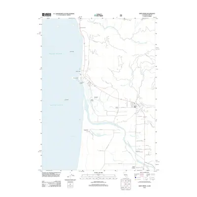
2012 Map of Smith River
USGS Topo · Published 2012About this map
The Smith River estuary and the surrounding coastal terrace define this landscape along the California and Oregon border. In the early 21st century, the area maintains its rural character, anchored by the community of Smith River and smaller nodes like Winton Corners and Tryon Corner. Cultural history is noted at the Indian Cem near Yontocket, reflecting the deep roots of the local population. The map illustrates a complex network of coastal water features, including Tillas Slough, Yontocket Slough, and the larger Pelican Bay to the south. Recreational and maritime interests are represented by the Ship Ashore Race Track and the Smith River Public Fishing Access, while the rugged offshore environment is punctuated by landmarks such as Prince Island, Hunter Rock, and Cone Rock. Coastal access is preserved at Pelican State Beach, situated just south of the state line.
Find a feature on this map
54 named features on this map. Tap any name to fly to it.
Don’t see what you’re looking for? This feature index may not catch every label — zoom into the map to look around manually.
Map Details
Editions of this 2012 Smith River Map
This is the sole edition of this map. No revisions or reprints were ever made.
Other maps of this area

1929 · Crescent City
USGS Topo · 1:125,000

1945 · Point St. George
USGS Topo · 1:62,500

1949 · Eureka
USGS Topo · 1:250,000

1952 · Crescent City
USGS Topo · 1:62,500

1954 · Coos Bay
USGS Topo · 1:250,000

1954 · Cape Ferrelo
USGS Topo · 1:62,500

1954 · Mt. Emily
USGS Topo · 1:62,500

1956 · Crescent City
USGS Topo · 1:24,000

1956 · Smith River
USGS Topo · 1:24,000

1958 · Eureka
USGS Topo · 1:250,000