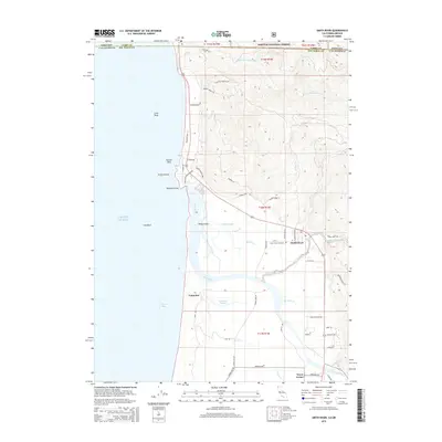
2015 Map of Smith River
USGS Topo · Published 2015About this map
The Smith River delta and the rugged coastline of northern California meet the Oregon border in this detailed topographic study. The settlement of Smith River serves as a focal point near the winding Rowdy Cr, surrounded by a network of agricultural roads and drainage features like Tillas Slough and Yontocket Slough. To the south, the historical site of Yontocket sits near the marshes of Pelican Bay, reflecting the long human presence in this fertile alluvial plain.
Find a feature on this map
59 named features on this map. Tap any name to fly to it.
Don’t see what you’re looking for? This feature index may not catch every label — zoom into the map to look around manually.
Map Details
Editions of this 2015 Smith River Map
This is the sole edition of this map. No revisions or reprints were ever made.
Other maps of this area

1929 · Crescent City
USGS Topo · 1:125,000

1945 · Point St. George
USGS Topo · 1:62,500

1949 · Eureka
USGS Topo · 1:250,000

1952 · Crescent City
USGS Topo · 1:62,500

1954 · Coos Bay
USGS Topo · 1:250,000

1954 · Cape Ferrelo
USGS Topo · 1:62,500

1954 · Mt. Emily
USGS Topo · 1:62,500

1956 · Crescent City
USGS Topo · 1:24,000

1956 · Smith River
USGS Topo · 1:24,000

1958 · Eureka
USGS Topo · 1:250,000