Loading...
Loading map...2021 Map of Smith River
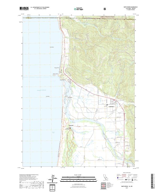
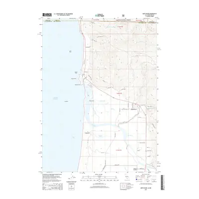
USGS Topo · Published 2021About this map
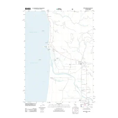
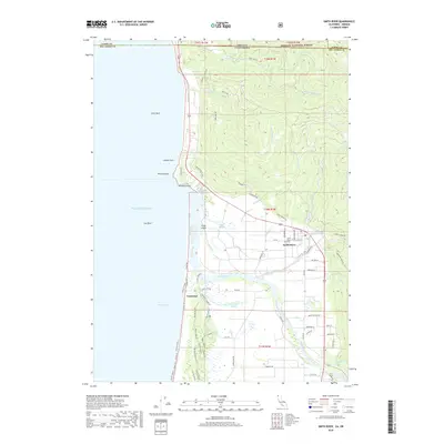
Smith River and the rugged northern coastline of Del Norte County define this recent survey of the California-Oregon border. The landscape is a complex network of coastal wetlands and riverine features, including Tillas Island and the meandering Tillas Slough. To the south, the settlement of Yontocket sits near the Yontocket Slough, a site of deep local significance marked by the Yontocket Indian Village Memorial Cem.
Find a feature on this map
72 named features on this map. Tap any name to fly to it.
Don’t see what you’re looking for? This feature index may not catch every label — zoom into the map to look around manually.
Map Details
Date Portrayed2021
Date Published2021
PublisherU.S. Geological Survey
Map TypeTopographic
Scale1:24,000
Physical Dimensions24 x 29 inches
Editions of this 2021 Smith River Map
This is the sole edition of this map. No revisions or reprints were ever made.
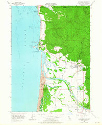
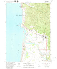
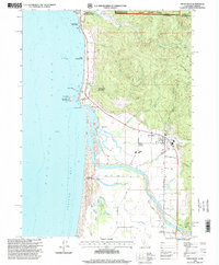
Historical Maps of Smith River Through Time
7 maps found
Featured Locations
Source Details
SourceU.S. Geological Survey
CopyrightPublic Domain