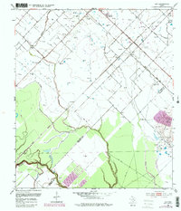
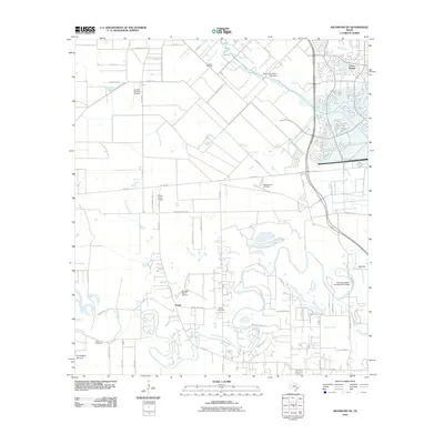
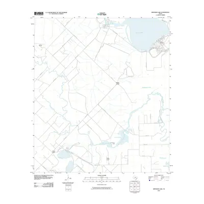
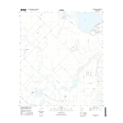
1953 Map of Smithers Lake
USGS Topo · Published 1981About this map
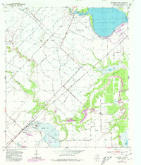
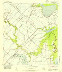
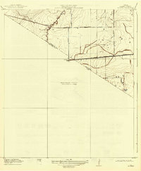
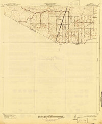
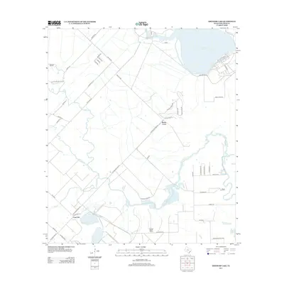
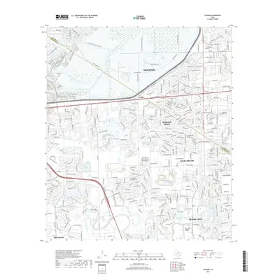
The industrial and agricultural landscape of Fort Bend County is defined by a complex network of man-made water management systems, including an extensive series of Levee, Ditch, and Siphon features. The Atchison Topeka and Santa Fe railroad cuts diagonally across the terrain, linking the settlement at Whaley Corner with the activity near Long Point. To the south, the economy is anchored by the Sulphur Field and Oil Field, where Evaporating Ponds dot the area near the Long Point School. Natural water features like Smithers Lake, Worthington Lake, and Big Creek provide a sharp contrast to the geometric irrigation patterns. The map captures a transition period where traditional rural infrastructure, evidenced by numerous windmills and a small Cem, exists alongside large-scale resource extraction and modern hydrologic engineering.
Find a feature on this map
21 named features on this map. Tap any name to fly to it.
Don’t see what you’re looking for? This feature index may not catch every label — zoom into the map to look around manually.
Map Details
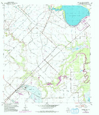
Editions of this 1953 Smithers Lake Map
3 editions found
Historical Maps of Fairchilds Through Time
37 maps found

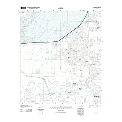
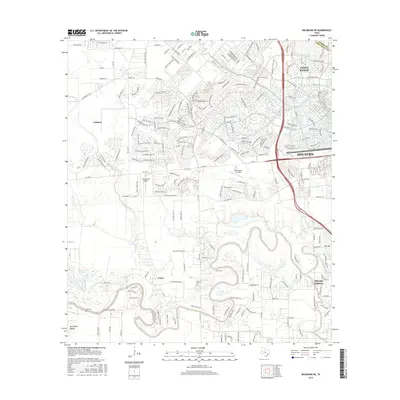
1915 Clodine
Fort Bend County, TX
1919 Clodine
Fort Bend County, TX
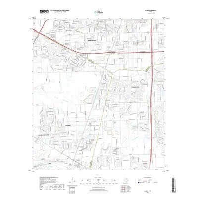
1920 Almeda
Fort Bend County, TX
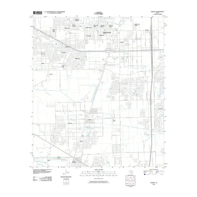
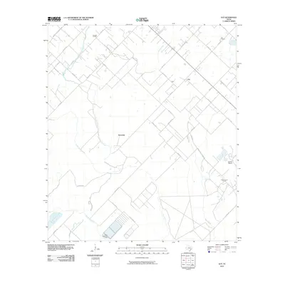
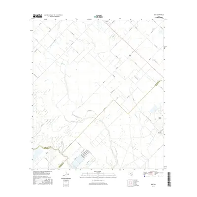
1953 Guy
Fort Bend County, TX
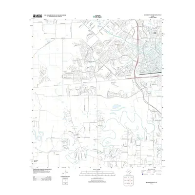
1953 Smithers Lake
Fort Bend County, TX
1955 Almeda
Fort Bend County, TX

1970 Clodine
Fort Bend County, TX
1971 Richmond NE
Fort Bend County, TX

1982 Almeda
Fort Bend County, TX

1982 Clodine
Fort Bend County, TX

1995 Almeda
Fort Bend County, TX

1995 Clodine
Fort Bend County, TX
2010 Almeda
Fort Bend County, TX
2010 Clodine
Fort Bend County, TX
2010 Guy
Fort Bend County, TX
2010 Richmond NE
Fort Bend County, TX
2010 Smithers Lake
Fort Bend County, TX
2013 Almeda
Fort Bend County, TX
2013 Clodine
Fort Bend County, TX
2013 Guy
Fort Bend County, TX
2013 Richmond NE
Fort Bend County, TX
2013 Smithers Lake
Fort Bend County, TX
2016 Almeda
Fort Bend County, TX
2016 Clodine
Fort Bend County, TX
2016 Guy
Fort Bend County, TX
2016 Richmond NE
Fort Bend County, TX
2016 Smithers Lake
Fort Bend County, TX
2019 Almeda
Fort Bend County, TX
2019 Clodine
Fort Bend County, TX
2019 Guy
Fort Bend County, TX
2019 Richmond NE
Fort Bend County, TX
2019 Smithers Lake
Fort Bend County, TX

2022 Almeda
Fort Bend County, TX

2022 Clodine
Fort Bend County, TX
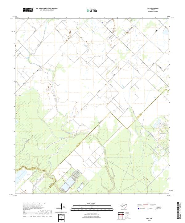
2022 Guy
Fort Bend County, TX
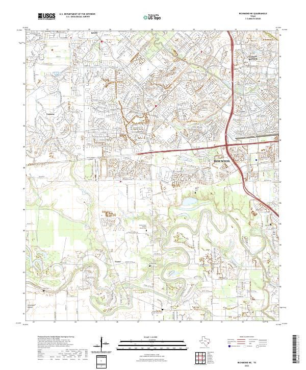
2022 Richmond NE
Fort Bend County, TX
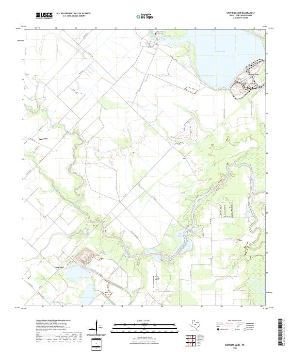
2022 Smithers Lake
Fort Bend County, TX