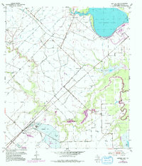
1953 Map of Smithers Lake
USGS Topo · Published 1992About this map
Hydrological engineering and resource extraction define this Fort Bend County landscape during the mid-20th century. The prominent Smithers Lake and Worthington Lake dominate the northeast, while the rest of the terrain is a complex network of man-made drainage, including a dense system of ditches and levees designed to manage the flow of Big Creek, Fairchilds Creek, and Deer Creek. These modifications supported the industrial footprint of the Sulphur Field and an Oil Field, where evaporating ponds and pipelines altered the natural drainage basins of Rabbs Bayou and Pilant Lake.
Find a feature on this map
17 named features on this map. Tap any name to fly to it.
Don’t see what you’re looking for? This feature index may not catch every label — zoom into the map to look around manually.
Map Details
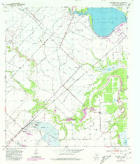
Editions of this 1953 Smithers Lake Map
3 editions found
Other maps of this area

1950 · Houston
USGS Topo · 1:250,000

1953 · Needville
USGS Topo · 1:24,000

1953 · Guy
USGS Topo · 1:24,000

1953 · Lake George
USGS Topo · 1:24,000

1953 · Damon
USGS Topo · 1:24,000

1953 · Otey
USGS Topo · 1:24,000

1953 · Thompsons
USGS Topo · 1:24,000

1955 · Sugar Land
USGS Topo · 1:62,500

1955 · Richmond
USGS Topo · 1:62,500

1956 · Houston
USGS Topo · 1:250,000