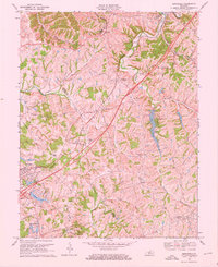
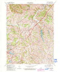
1969 Map of Smithfield
USGS Topo · Published 1972About this map
The Louisville and Nashville railroad corridor anchors the landscape of this Kentucky region, connecting small community hubs like Pendleton and Smithfield. The 1969 topography reveals a transition toward recreation and energy infrastructure, marked by the expansive Lake Jericho and an Underground Gas Storage Field in the south near Blakemore Road. Local history is preserved in naming conventions of the secondary roads, including Old Ballard School Road and Fort Pickens Road, which navigate the winding drainages of Floyds Fork and Harrods Creek. The map documents a period where traditional rural settlements like Sligo and Jericho coexist with modern developments like the Drive-in Theater near Pendleton and the Green Valley Country Club near Crystal Lake.
Find a feature on this map
43 named features on this map. Tap any name to fly to it.
Don’t see what you’re looking for? This feature index may not catch every label — zoom into the map to look around manually.
Map Details
Editions of this 1969 Smithfield Map
5 editions found
Other maps of this area

1928 · New Castle
USGS Topo · 1:48,000

1932 · New Castle
USGS Topo · 1:62,500

1932 · La Grange
USGS Topo · 1:62,500

1939 · Bethlehem
USGS Topo · 1:24,000

1948 · Bethlehem
USGS Topo · 1:24,000

1951 · Crestwood
USGS Topo · 1:24,000

1952 · Campbellsburg
USGS Topo · 1:24,000

1953 · Bedford
USGS Topo · 1:24,000

1953 · Bethlehem
USGS Topo · 1:24,000

1954 · Ballardsville
USGS Topo · 1:24,000