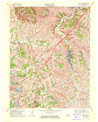
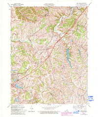
1969 Map of Smithfield
USGS Topo · Published 1971About this map
Louisville and Nashville railroad tracks cut a diagonal path through this rural Kentucky landscape, connecting small farming communities like Sulphur and Pendleton. The 1969 revision captures the intersection of traditional agricultural life and modern infrastructure, notably marked by the construction of Interstate 71 and the development of the Lake Jericho Recreation Area. Local spiritual and educational centers such as Mt Olivet Ch, Sulphur Ch, and the Ballard School serve as primary anchors for the scattered populations across Henry Co and Oldham Co.
Find a feature on this map
34 named features on this map. Tap any name to fly to it.
Don’t see what you’re looking for? This feature index may not catch every label — zoom into the map to look around manually.
Map Details
Editions of this 1969 Smithfield Map
5 editions found
Other maps of this area

1928 · New Castle
USGS Topo · 1:48,000

1932 · New Castle
USGS Topo · 1:62,500

1932 · La Grange
USGS Topo · 1:62,500

1939 · Bethlehem
USGS Topo · 1:24,000

1948 · Bethlehem
USGS Topo · 1:24,000

1951 · Crestwood
USGS Topo · 1:24,000

1952 · Campbellsburg
USGS Topo · 1:24,000

1953 · Bedford
USGS Topo · 1:24,000

1953 · Bethlehem
USGS Topo · 1:24,000

1954 · Ballardsville
USGS Topo · 1:24,000