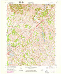
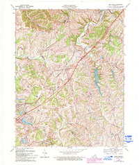
1969 Map of Smithfield
USGS Topo · Published 1979About this map
The Louisville and Nashville Railroad cuts a diagonal path through this rural Kentucky landscape, anchoring a series of small settlements including Sulphur, Pendleton, and Jericho. This 1969 survey, updated with late-1970s aerial data, reveals a community balancing traditional agricultural land use with emerging recreational and industrial features. To the south, a large Underground Gas Storage Field and numerous gas wells indicate the region's role in energy infrastructure, while the creation of Lake Jericho and its associated Recreation Area and Boat Ramp points to a growing leisure economy. Local history is preserved through numerous family and community landmarks, such as Organ Creek Ch, Sligo Cem, and the Ballard School. The terrain is defined by the winding course of the Little Kentucky River and Harrods Creek, which carve through the hills of the Oldham and Henry County borderlands.
Find a feature on this map
57 named features on this map. Tap any name to fly to it.
Don’t see what you’re looking for? This feature index may not catch every label — zoom into the map to look around manually.
Map Details
Editions of this 1969 Smithfield Map
5 editions found
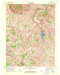
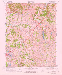
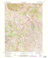
Other maps of this area

1928 · New Castle
USGS Topo · 1:48,000

1932 · New Castle
USGS Topo · 1:62,500

1932 · La Grange
USGS Topo · 1:62,500

1939 · Bethlehem
USGS Topo · 1:24,000

1948 · Bethlehem
USGS Topo · 1:24,000

1951 · Crestwood
USGS Topo · 1:24,000

1952 · Campbellsburg
USGS Topo · 1:24,000

1953 · Bedford
USGS Topo · 1:24,000

1953 · Bethlehem
USGS Topo · 1:24,000

1954 · Ballardsville
USGS Topo · 1:24,000