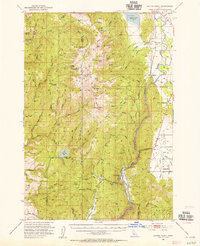
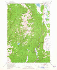
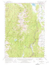
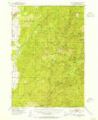
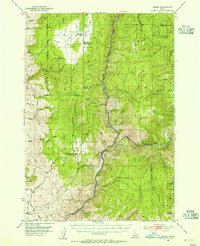
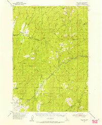
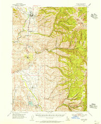
1953 Map of Smiths Ferry
USGS Topo · Published 1955About this map
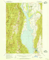
Smiths Ferry and the North Fork Payette River anchor this mid-century look at the mountain-and-valley landscape of central Idaho. The rugged topography of the Boise National Forest is dominated by prominent summits such as Snowbank Mtn and Tripod Peak, which served as critical vantage points for the Tripod Lookout. At this time, the Cascade Reservoir Spillway 4828 appears at the northern edge, reflecting the hydraulic management of the region's river systems.
Find a feature on this map
50 named features on this map. Tap any name to fly to it.
Don’t see what you’re looking for? This feature index may not catch every label — zoom into the map to look around manually.
Map Details
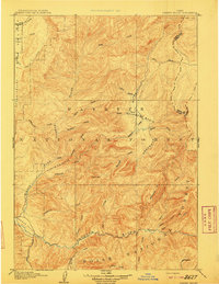
Editions of this 1953 Smiths Ferry Map
3 editions found
Other maps of this area

1894 · Squaw Creek
USGS Topo · 1:125,000
1909 · Garden Valley
USGS Topo · 1:125,000

1911 · Meadows
USGS Topo · 1:125,000
1953 · Boiling Springs
USGS Topo · 1:62,500
1953 · Banks
USGS Topo · 1:62,500
1954 · Gold Fork
USGS Topo · 1:62,500
1954 · Council
USGS Topo · 1:62,500
1954 · Cascade
USGS Topo · 1:62,500

1955 · Baker
USGS Topo · 1:250,000

1957 · Challis
USGS Topo · 1:250,000