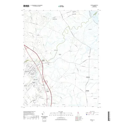
2019 Map of Smyrna
USGS Topo · Published 2019About this map
The town of Smyrna anchors this portion of the Delmarva Peninsula, where the landscape transitions from established residential corridors to the marshy lowlands of the Delaware River coast. Waterways like the Smyrna River and Duck Creek wind toward the Delaware Bay, shaping the development of early outposts such as Smyrna Landing and Deakyneville. The map captures a detailed modern transport network centered on S Dupont Pkwy and Dupont Blvd, while smaller settlements like Brick Store and Big Oak Corners maintain the area's rural character.
Find a feature on this map
139 named features on this map. Tap any name to fly to it.
Don’t see what you’re looking for? This feature index may not catch every label — zoom into the map to look around manually.
Map Details
Editions of this 2019 Smyrna Map
This is the sole edition of this map. No revisions or reprints were ever made.
Other maps of this area

1890 · Bay Side
USGS Topo · 1:62,500

1894 · Bay Side
USGS Topo · 1:62,500

1899 · Vineland
USGS Topo · 1:125,000

1899 · Dover
USGS Topo · 1:125,000

1906 · Dover
USGS Topo · 1:125,000

1919 · Vineland
USGS Topo · 1:125,000

1920 · Dover
USGS Topo · 1:125,000

1926 · Wyoming
USGS Topo · 1:48,000

1930 · Wyoming
USGS Topo · 1:62,500

1931 · Wyoming
USGS Topo · 1:62,500