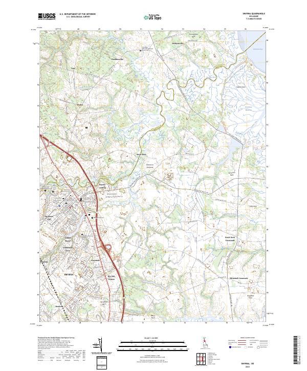
2023 Map of Smyrna
USGS Topo · Published 2023About this map
Smyrna and Clayton serve as the primary hubs in this Delaware corridor where the New Castle County and Kent County line follows the winding course of the Smyrna River. This area is exceptionally dense with genealogical data, featuring numerous historic burial sites such as the Duck Creek Friends Burial Ground, Odd Fellows African American Cem, and the Asbury Methodist Episcopal Church Cem.
Find a feature on this map
71 named features on this map. Tap any name to fly to it.
Don’t see what you’re looking for? This feature index may not catch every label — zoom into the map to look around manually.
Map Details
Editions of this 2023 Smyrna Map
This is the sole edition of this map. No revisions or reprints were ever made.
Other maps of this area

1890 · Bay Side
USGS Topo · 1:62,500

1894 · Bay Side
USGS Topo · 1:62,500

1899 · Vineland
USGS Topo · 1:125,000

1899 · Dover
USGS Topo · 1:125,000

1906 · Dover
USGS Topo · 1:125,000

1919 · Vineland
USGS Topo · 1:125,000

1920 · Dover
USGS Topo · 1:125,000

1926 · Wyoming
USGS Topo · 1:48,000

1930 · Wyoming
USGS Topo · 1:62,500

1931 · Wyoming
USGS Topo · 1:62,500