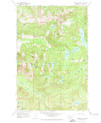
1965 Map of Snoqualmie Lake
USGS Topo · Published 1974About this map
Snoqualmie National Forest dominates this alpine landscape, characterized by an exceptionally high density of high-elevation water bodies and steep drainage basins. Centered on the Taylor River and Lennox Creek watersheds, the map reveals a wilderness accessible only by a network of historical routes like the Dingford Creek Trail and various unnamed Pack Trails. The presence of numerous clustered lakes, such as the Snoqualmie Lake Potholes, Lake Dorothy, and Nimue Lake, illustrates the post-glacial topography of the Central Cascades. Prominent peaks including Garfield Mtn and Mt Price define the high ridges, providing a clear record of the area's physical geography before the expansion of modern recreation infrastructure. This 1965 field-checked survey serves as a precise record of the backcountry hydrologic network, including features like Otter Falls and Gouging Lake.
Find a feature on this map
57 named features on this map. Tap any name to fly to it.
Don’t see what you’re looking for? This feature index may not catch every label — zoom into the map to look around manually.
Map Details
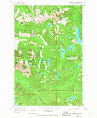
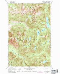
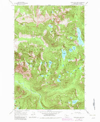
Editions of this 1965 Snoqualmie Lake Map
4 editions found
Other maps of this area

1901 · Snoqualmie Pass
USGS Topo · 1:125,000

1902 · Skykomish
USGS Topo · 1:125,000

1903 · Snoqualmie
USGS Topo · 1:125,000

1905 · Skykomish
USGS Topo · 1:125,000

1913 · Cedar Lake
USGS Topo · 1:125,000

1921 · Sultan
USGS Topo · 1:125,000

1923 · Sultan
USGS Topo · 1:125,000

1957 · Wenatchee
USGS Topo · 1:250,000

1960 · Mount Si
USGS Topo · 1:62,500

1960 · Bandera
USGS Topo · 1:62,500