
1955 Map of Snow Basin
USGS Topo · Published 1956About this map
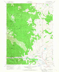
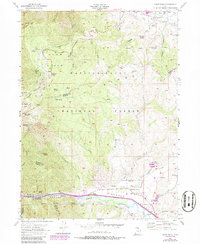
Snow Basin defines the high-altitude landscape of this mid-1950s survey, showing the early infrastructure of the winter sports area with its Ski Tow, Ski Jump, and Shelter. The map captures the rugged divide between Weber and Morgan counties, dominated by prominent peaks like Sardine Peak and Strawberry Peak. In the valleys below, the Weber River cuts through the narrow Weber Canyon alongside the Union Pacific railroad, a critical transportation corridor marked by the Devils Gate gorge.
Find a feature on this map
64 named features on this map. Tap any name to fly to it.
Don’t see what you’re looking for? This feature index may not catch every label — zoom into the map to look around manually.
Map Details
Editions of this 1955 Snow Basin Map
3 editions found
Other maps of this area

1954 · Ogden
USGS Topo · 1:250,000

1955 · Ogden
USGS Topo · 1:24,000

1955 · Peterson
USGS Topo · 1:24,000

1955 · Huntsville
USGS Topo · 1:24,000

1955 · North Ogden
USGS Topo · 1:24,000

1955 · Kaysville
USGS Topo · 1:24,000

1958 · Ogden
USGS Topo · 1:250,000

1960 · Ogden
USGS Topo · 1:250,000
1961 · Morgan
USGS Topo · 1:24,000

1961 · Morgan
USGS Topo · 1:62,500