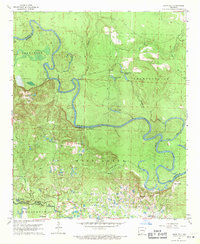
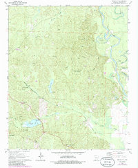
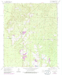
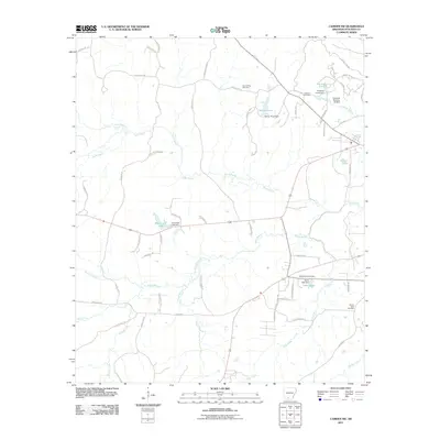
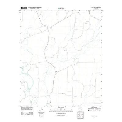
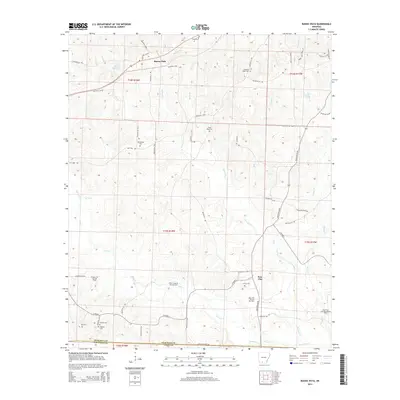
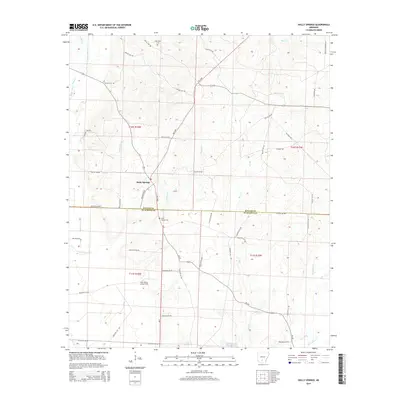
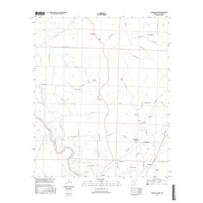
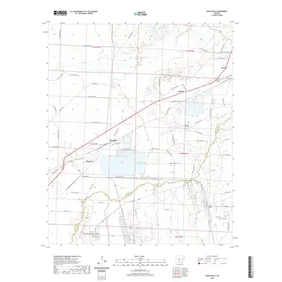
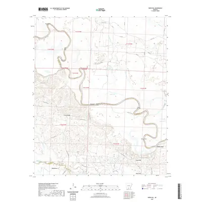
1962 Map of Snow Hill
USGS Topo · Published 1971About this map
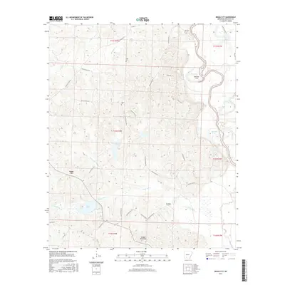
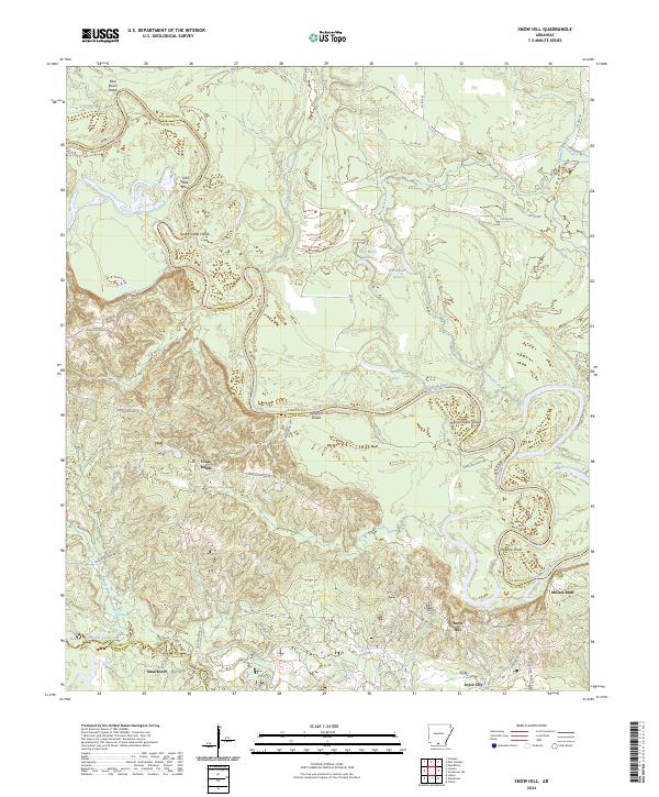
The Smackover Oil and Gas Field dominates the southern landscape of this 1960s survey, illustrating the intensive industrial footprint of petroleum extraction along the border of Ouachita and Union Counties. The Ouachita River meanders through the center of the sheet, its oxbows and backwaters forming distinctive features like Half Moon Lake, Spoon Lake, and Cages Lake. These wetlands and bayous contrast sharply with the industrial activity to the south, where a dense network of roads and pipelines supports the local energy economy.
Find a feature on this map
28 named features on this map. Tap any name to fly to it.
Don’t see what you’re looking for? This feature index may not catch every label — zoom into the map to look around manually.
Map Details
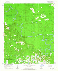
Editions of this 1962 Snow Hill Map
3 editions found
Historical Maps of Smackover Through Time
54 maps found
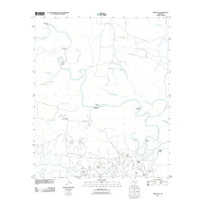
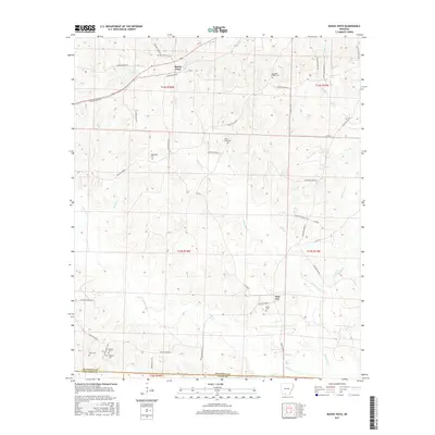
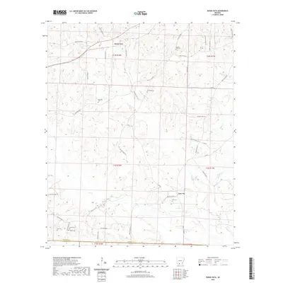
1962 Buena Vista
Ouachita County, AR
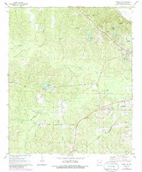
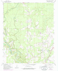
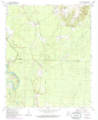
1962 Snow Hill
Ouachita County, AR
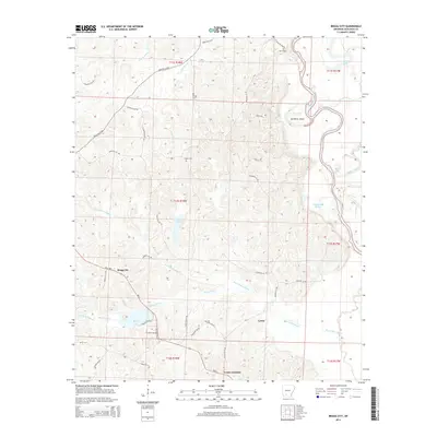
1971 Bragg City
Ouachita County, AR
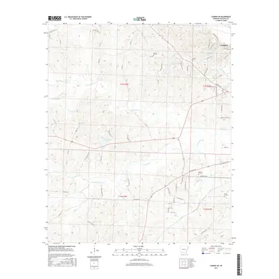
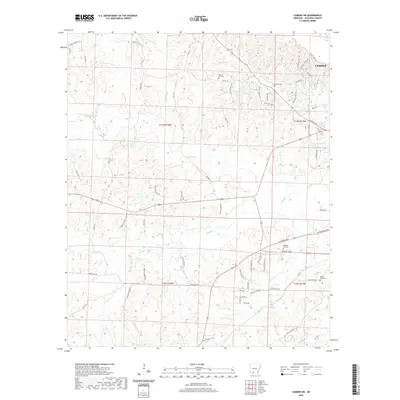
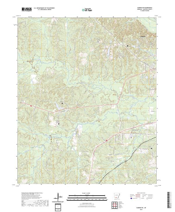
1971 Camden SW
Ouachita County, AR
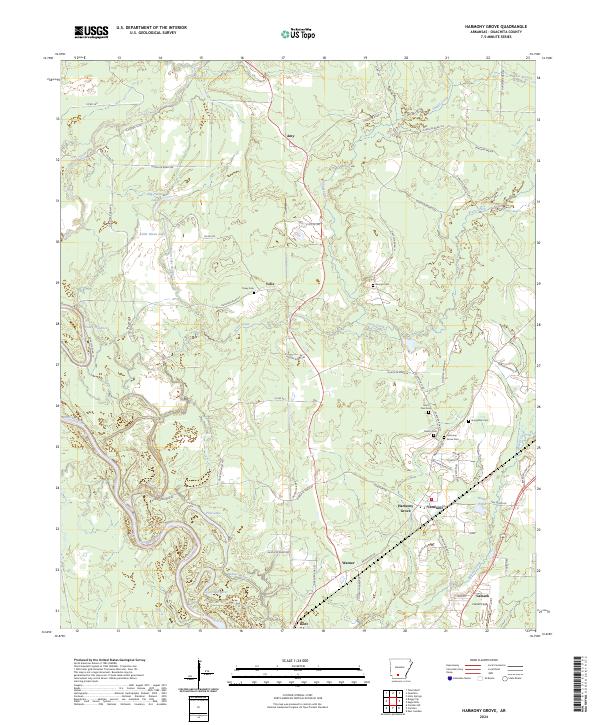
1971 Harmony Grove
Ouachita County, AR
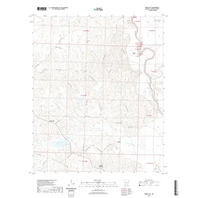
1971 Ouachita
Ouachita County, AR

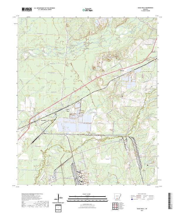
1973 Eagle Mills
Ouachita County, AR
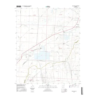
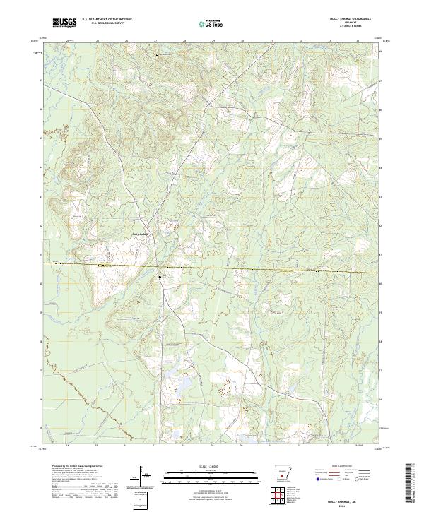
1973 Holly Springs
Ouachita County, AR
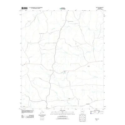
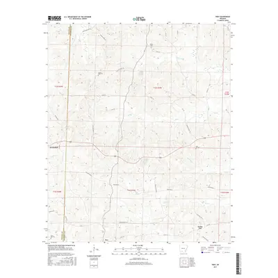
1973 Troy
Ouachita County, AR
2011 Bragg City
Ouachita County, AR
2011 Buena Vista
Ouachita County, AR
2011 Camden SW
Ouachita County, AR
2011 Eagle Mills
Ouachita County, AR
2011 Harmony Grove
Ouachita County, AR
2011 Holly Springs
Ouachita County, AR
2011 Ouachita
Ouachita County, AR
2011 Snow Hill
Ouachita County, AR
2011 Troy
Ouachita County, AR
2014 Bragg City
Ouachita County, AR
2014 Buena Vista
Ouachita County, AR
2014 Camden SW
Ouachita County, AR
2014 Eagle Mills
Ouachita County, AR
2014 Harmony Grove
Ouachita County, AR
2014 Holly Springs
Ouachita County, AR
2014 Ouachita
Ouachita County, AR
2014 Snow Hill
Ouachita County, AR
2014 Troy
Ouachita County, AR
2017 Bragg City
Ouachita County, AR
2017 Buena Vista
Ouachita County, AR
2017 Camden SW
Ouachita County, AR
2017 Eagle Mills
Ouachita County, AR
2017 Harmony Grove
Ouachita County, AR
2017 Holly Springs
Ouachita County, AR
2017 Ouachita
Ouachita County, AR
2017 Snow Hill
Ouachita County, AR
2017 Troy
Ouachita County, AR
2020 Bragg City
Ouachita County, AR
2020 Buena Vista
Ouachita County, AR
2020 Camden SW
Ouachita County, AR
2020 Eagle Mills
Ouachita County, AR
2020 Harmony Grove
Ouachita County, AR
2020 Holly Springs
Ouachita County, AR
2020 Ouachita
Ouachita County, AR
2020 Snow Hill
Ouachita County, AR
2020 Troy
Ouachita County, AR
2024 Bragg City
Ouachita County, AR
2024 Buena Vista
Ouachita County, AR
2024 Camden SW
Ouachita County, AR
2024 Eagle Mills
Ouachita County, AR
2024 Harmony Grove
Ouachita County, AR
2024 Holly Springs
Ouachita County, AR
2024 Ouachita
Ouachita County, AR
2024 Snow Hill
Ouachita County, AR
2024 Troy
Ouachita County, AR