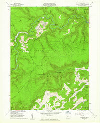
1960 Map of Snow Shoe SE
USGS Topo · Published 1962About this map
The timber-heavy landscape of Sproul State Forest dominates this 1960s study, where the industrial footprint of the New York Central and Hudson River RR carves through the narrow valleys of Centre County. The settlement of Orviston stands as a focal point in the northeast, positioned along the railroad line near a reservoir. This era of Pennsylvania’s history is clearly marked by the extensive extractive industry, with numerous Strip Mines and associated Tipples visible across the high ridges, particularly north of Beech Creek.
Find a feature on this map
38 named features on this map. Tap any name to fly to it.
Don’t see what you’re looking for? This feature index may not catch every label — zoom into the map to look around manually.
Map Details
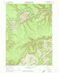
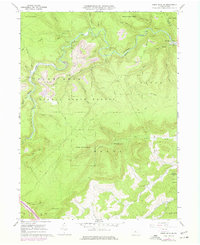
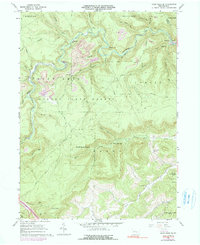
Editions of this 1960 Snow Shoe SE Map
4 editions found
Other maps of this area

1908 · Bellefonte
USGS Topo · 1:62,500

1909 · Bellefonte
USGS Topo · 1:62,500

1921 · Howard
USGS Topo · 1:48,000

1923 · Howard
USGS Topo · 1:62,500

1924 · Centre Hall
USGS Topo · 1:62,500

1928 · Snow Shoe
USGS Topo · 1:48,000

1929 · Centre Hall
USGS Topo · 1:62,500

1931 · Show Shoe
USGS Topo · 1:62,500

1943 · Lewistown
USGS Topo · 1:125,000

1950 · Harrisburg
USGS Topo · 1:250,000