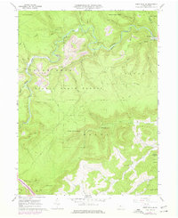
1960 Map of Snow Shoe SE
USGS Topo · Published 1977About this map
Beech Creek winds through the forested highlands of the Sproul State Forest, defining a landscape where the extraction economy of the 1960s meets the terrain of the Allegheny Front. The settlement of Orviston sits near the creek's edge, linked by the Penn Central rail line to the mining operations at Kato. Heavy industrial activity is evidenced by numerous strip mines and a tipple on Snow Shoe Mountain, alongside the notable Hogback Tunnel which allowed rail passage through the complex topography.
Find a feature on this map
45 named features on this map. Tap any name to fly to it.
Don’t see what you’re looking for? This feature index may not catch every label — zoom into the map to look around manually.
Map Details
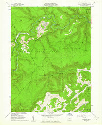
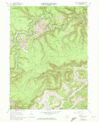
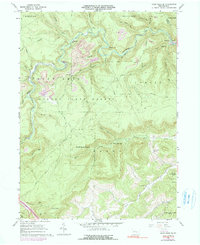
Editions of this 1960 Snow Shoe SE Map
4 editions found
Other maps of this area

1908 · Bellefonte
USGS Topo · 1:62,500

1909 · Bellefonte
USGS Topo · 1:62,500

1921 · Howard
USGS Topo · 1:48,000

1923 · Howard
USGS Topo · 1:62,500

1924 · Centre Hall
USGS Topo · 1:62,500

1928 · Snow Shoe
USGS Topo · 1:48,000

1929 · Centre Hall
USGS Topo · 1:62,500

1931 · Show Shoe
USGS Topo · 1:62,500

1943 · Lewistown
USGS Topo · 1:125,000

1950 · Harrisburg
USGS Topo · 1:250,000