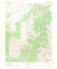
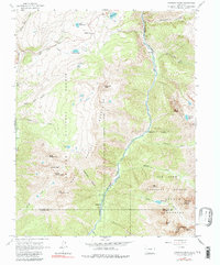
1964 Map of Snowdon Peak
USGS Topo · Published 1967About this map
The Denver and Rio Grande Western River railroad corridor defines the eastern canyon of this high-altitude landscape, providing a vital transport link through the San Juan National Forest in the mid-1960s. The small settlement at Needleton stands as a focal point for the river valley, supported by infrastructure like the Needleton Water Tank and a separate Watertank located further up Watertank Canyon. These features reflect the operational requirements of rail travel through the demanding terrain of the San Juan Mountains.
Find a feature on this map
48 named features on this map. Tap any name to fly to it.
Don’t see what you’re looking for? This feature index may not catch every label — zoom into the map to look around manually.
Map Details
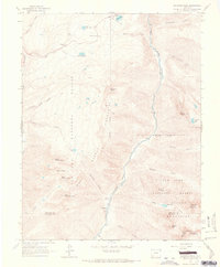
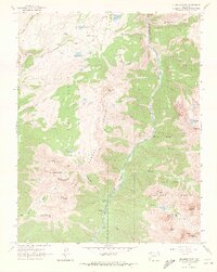
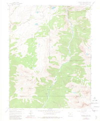
Editions of this 1964 Snowdon Peak Map
5 editions found
Other maps of this area

1897 · Telluride
USGS Topo · 1:62,500

1897 · Silverton
USGS Topo · 1:62,500

1898 · Engineer Mountain
USGS Topo · 1:62,500

1900 · Engineer Mountain
USGS Topo · 1:62,500

1900 · Needle Mountains
USGS Topo · 1:62,500

1901 · Silverton
USGS Topo · 1:62,500

1902 · Needle Mountains
USGS Topo · 1:62,500

1902 · Silverton
USGS Topo · 1:62,500

1904 · Telluride
USGS Topo · 1:62,500

1908 · Engineer Mountain
USGS Topo · 1:62,500