
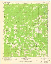
1962 Map of Sobol
USGS Topo · Published 1964About this map
The Kiamichi Mountains dominate this 1960s landscape, where the borders of Pushmataha, McCurtain, and Choctaw counties converge. The rugged topography is defined by the winding course of the Little River, which forms a natural boundary in the northeast corner near Pine Knot Crossing. Small agricultural and timber-related settlements like Ringold and Sobol are scattered throughout the valleys, connected by a network of unimproved roads and fine red lines indicating property fences and field boundaries.
Find a feature on this map
32 named features on this map. Tap any name to fly to it.
Don’t see what you’re looking for? This feature index may not catch every label — zoom into the map to look around manually.
Map Details
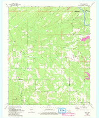
Editions of this 1962 Sobol Map
3 editions found
Other maps of this area

1901 · Alikchi
USGS Topo · 1:125,000

1950 · Mcalester
USGS Topo · 1:250,000

1962 · McAlester
USGS Topo · 1:250,000

1962 · Wright City
USGS Topo · 1:24,000

1962 · Caney Mountain
USGS Topo · 1:24,000

1962 · Alikchi
USGS Topo · 1:24,000

1962 · Signal Mountain
USGS Topo · 1:24,000
1962 · Swink
USGS Topo · 1:24,000

1965 · McAlester
USGS Topo · 1:250,000

1971 · Spencerville
USGS Topo · 1:24,000