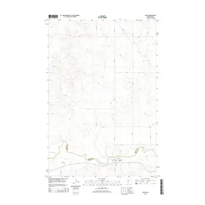
2014 Map of Solen
USGS Topo · Published 2014About this map
Solen sits at the confluence of local history and the prairie landscape, anchored by the winding course of the Cannonball River which defines the boundary between Sioux County and Morton County. This high-plains topography is marked by a grid of section roads and the notable presence of the Red Cedar Cem located southwest of the main settlement. The village itself is organized around a small street grid featuring Broadway, River St, and Main St, reflecting a layout common to rural rail and river outposts in North Dakota. Farther north, the drainage of Northwest Br Cantapeta Cr cuts through the undulating terrain, while primary access is provided by county routes like Cr-134. This survey documents the area's rural character as it remained in the early 21st century, showing the enduring spatial relationship between the river valley and the surrounding upland plateaus.
Find a feature on this map
21 named features on this map. Tap any name to fly to it.
Don’t see what you’re looking for? This feature index may not catch every label — zoom into the map to look around manually.
Map Details
Editions of this 2014 Solen Map
This is the sole edition of this map. No revisions or reprints were ever made.
Other maps of this area

1907 · Bismarck
USGS Topo · 1:125,000

1954 · Bismarck
USGS Topo · 1:250,000

1958 · Bismarck
USGS Topo · 1:250,000

1968 · Cannon Ball NW
USGS Topo · 1:24,000

1968 · Cannon Ball SW
USGS Topo · 1:24,000

1971 · Half Timber Butte
USGS Topo · 1:24,000

1971 · Huff
USGS Topo · 1:24,000

1971 · Solen SW
USGS Topo · 1:24,000

1979 · Bismarck
USGS Topo · 1:100,000

1980 · Solen
USGS Topo · 1:24,000