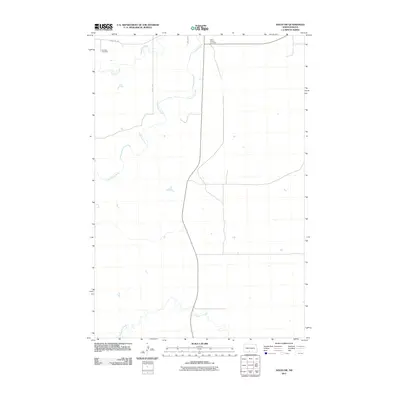
2011 Map of Solen SW
USGS Topo · Published 2011About this map
The Cannonball River meanders through this section of the Cannonball District, creating a distinct hydrological pattern across the northern Great Plains landscape. In the early 21st century, this area remains defined by its watercourses, including the northward flow of Dogtooth Creek and the southern presence of Porcupine Creek. Human settlement is marked primarily by small, localized landmarks and the rural road network. Genealogists and local historians can find the Fairview Cemetery in the northwest corner near County Rd 134, while the Saint Gabriel Cemetery is situated further east. The map illustrates a vast, open geography where primary access is provided by north-south corridors like 25th Ave, reflecting the enduring rural character and sparse population density typical of Sioux County.
Find a feature on this map
7 named features on this map. Tap any name to fly to it.
Don’t see what you’re looking for? This feature index may not catch every label — zoom into the map to look around manually.
Map Details
Editions of this 2011 Solen SW Map
This is the sole edition of this map. No revisions or reprints were ever made.
Other maps of this area

1954 · Bismarck
USGS Topo · 1:250,000

1958 · Bismarck
USGS Topo · 1:250,000

1971 · Barren Butte
USGS Topo · 1:24,000

1971 · Half Timber Butte
USGS Topo · 1:24,000

1971 · Froelich Dam
USGS Topo · 1:24,000

1971 · Solen SW
USGS Topo · 1:24,000

1971 · Porcupine
USGS Topo · 1:24,000

1971 · Timmer
USGS Topo · 1:24,000

1980 · Solen
USGS Topo · 1:24,000

1980 · Breien
USGS Topo · 1:24,000
Featured Places
- Cannonball District, ND
- Fort Yates District, ND
- Porcupine District, ND
- Morton County, ND
- Sioux County, ND