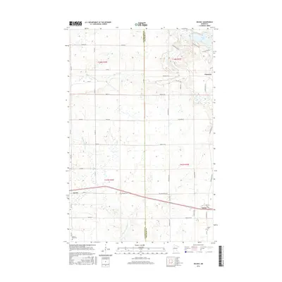
2016 Map of Solway
USGS Topo · Published 2016About this map
The Clearwater River and the headwaters of the Little Mississippi River define the terrain in this portion of Clearwater and Beltrami Counties. Centered near the settlement of Solway, the landscape transitions from the open water of Buzzle Lake in the northeast to the rural crossroads at Shevlin in the southwest. The transport network is anchored by the Old Jefferson Hwy, which runs parallel to the modern corridor, marking a shift in the region's connectivity over time. For genealogists and local historians, the placement of the Solway Cem and the Shevlin-Moose Cem offers specific locations for family research. This area, largely defined by its township-and-range section lines, preserves the spatial arrangement of Northern Minnesota's small agricultural and timber-linked communities as they appeared in the early 21st century.
Find a feature on this map
48 named features on this map. Tap any name to fly to it.
Don’t see what you’re looking for? This feature index may not catch every label — zoom into the map to look around manually.
Map Details
Editions of this 2016 Solway Map
This is the sole edition of this map. No revisions or reprints were ever made.
Other maps of this area

1919 · Solway
USGS Topo · 1:62,500

1943 · Solway
USGS Topo · 1:62,500

1943 · Bagley
USGS Topo · 1:62,500

1954 · Bemidji
USGS Topo · 1:250,000

1957 · Bemidji
USGS Topo · 1:250,000

1958 · Bemidji
USGS Topo · 1:250,000

1969 · Leonard
USGS Topo · 1:24,000

1969 · Shevlin
USGS Topo · 1:24,000
1969 · Upper Rice Lake
USGS Topo · 1:24,000

1972 · Alida
USGS Topo · 1:24,000