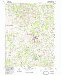
1961 Map of Somerset
USGS Topo · Published 1994About this map
The village of Somerset serves as the central hub of this Perry County landscape, where the intersection of several historic routes meets a legacy of transit and local industry. The map captures a transition in transportation, notably preserving the alignment of an Old RR Grade and a Railroad Grade that once connected these rural communities. Notable for local history enthusiasts, the area is dotted with several unique structures, including the Somerset Covered Bridge, the Hopewell Church Covered Bridge, and the Bowman Mill Covered Bridge.
Find a feature on this map
43 named features on this map. Tap any name to fly to it.
Don’t see what you’re looking for? This feature index may not catch every label — zoom into the map to look around manually.
Map Details
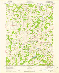
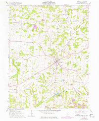
Editions of this 1961 Somerset Map
3 editions found
Other maps of this area

1907 · Logan
USGS Topo · 1:62,500

1909 · Thornville
USGS Topo · 1:62,500

1909 · Logan
USGS Topo · 1:62,500

1910 · Zanesville
USGS Topo · 1:62,500

1911 · New Lexington
USGS Topo · 1:62,500

1947 · Columbus
USGS Topo · 1:250,000

1961 · Columbus
USGS Topo · 1:250,000

1961 · Rushville
USGS Topo · 1:24,000
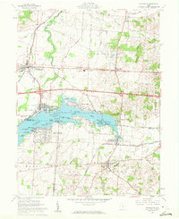
1961 · Thornville
USGS Topo · 1:24,000

1961 · New Lexington
USGS Topo · 1:24,000