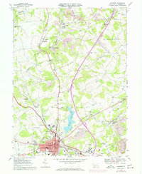
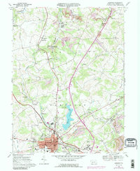
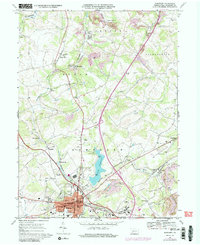
1967 Map of Somerset
USGS Topo · Published 1973About this map
Somerset serves as the regional hub in this 1960s landscape, where the legacy of coal mining meets mid-century infrastructure. Numerous Strip Mines and Gas Wells dot the surrounding townships of Jenner and Quemahoning, while the Pennsylvania Turnpike and Baltimore and Ohio railroad corridor facilitate heavy transit through the valley. The town center is densely detailed, featuring the Courthouse, Armory, and several educational institutions including Parson High Sch and Union St Sch.
Find a feature on this map
68 named features on this map. Tap any name to fly to it.
Don’t see what you’re looking for? This feature index may not catch every label — zoom into the map to look around manually.
Map Details
Editions of this 1967 Somerset Map
6 editions found
Other maps of this area

1913 · Somerset
USGS Topo · 1:62,500

1914 · Windber
USGS Topo · 1:62,500

1915 · Somerset
USGS Topo · 1:62,500

1916 · Windber
USGS Topo · 1:62,500

1921 · Meyersdale
USGS Topo · 1:62,500

1923 · Berlin
USGS Topo · 1:48,000

1929 · Berlin
USGS Topo · 1:62,500

1939 · Meyersdale
USGS Topo · 1:62,500

1944 · Somerset
USGS Topo · 1:62,500

1944 · Windber
USGS Topo · 1:62,500
Featured Places
- Somerset, PA
- Quemahoning Township, PA
- Jenner Township, PA
- Somerset Township, PA
- Ralphton, Quemahoning Township