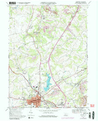
1967 Map of Somerset
USGS Topo · Published 1989About this map
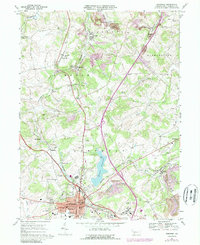
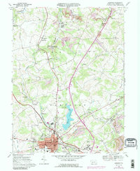
The borough of Somerset serves as a significant regional hub in this 1960s study, where the intersection of the Pennsylvania Turnpike and the Baltimore and Ohio railroad corridor defines the local economy. The landscape north of the town center is marked by several smaller communities and institutional sites, including Acosta, Sipesville, and the extensive grounds of the Somerset State Hospital. A central feature of the terrain is Somerset Lake, which provides a recreational focal point with its associated campsites and boat ramp.
Find a feature on this map
65 named features on this map. Tap any name to fly to it.
Don’t see what you’re looking for? This feature index may not catch every label — zoom into the map to look around manually.
Map Details
Editions of this 1967 Somerset Map
6 editions found
Other maps of this area

1913 · Somerset
USGS Topo · 1:62,500

1914 · Windber
USGS Topo · 1:62,500

1915 · Somerset
USGS Topo · 1:62,500

1916 · Windber
USGS Topo · 1:62,500

1921 · Meyersdale
USGS Topo · 1:62,500

1923 · Berlin
USGS Topo · 1:48,000

1929 · Berlin
USGS Topo · 1:62,500

1939 · Meyersdale
USGS Topo · 1:62,500

1944 · Somerset
USGS Topo · 1:62,500

1944 · Windber
USGS Topo · 1:62,500
Featured Places
- Somerset, PA
- Quemahoning Township, PA
- Jenner Township, PA
- Somerset Township, PA
- Ralphton, Quemahoning Township