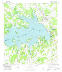
1971 Map of Somerville
USGS Topo · Published 1974About this map
The massive Somerville Lake dominates this 1971 revision, a man-made reservoir created by the Somerville Dam across Yegua Creek. This landscape shows the transition from the river-bottom agriculture of the early twentieth century to a recreation-focused economy, evidenced by numerous public areas like Birch Creek State Park and Rocky Creek Park. The town of Somerville remains a significant rail hub, defined by the extensive yards of the Atchison Topeka and Santa Fe railroad and local infrastructure such as Sewage Disposal Ponds.
Find a feature on this map
41 named features on this map. Tap any name to fly to it.
Don’t see what you’re looking for? This feature index may not catch every label — zoom into the map to look around manually.
Map Details
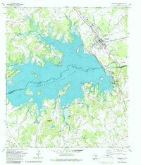
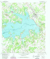
Editions of this 1971 Somerville Map
3 editions found
Other maps of this area

1914 · Gay Hill
USGS Topo · 1:62,500

1930 · Brenham
USGS Topo · 1:62,500

1954 · Austin
USGS Topo · 1:250,000

1956 · Brenham
USGS Topo · 1:62,500

1956 · Somerville
USGS Topo · 1:62,500

1958 · Carmine
USGS Topo · 1:24,000

1958 · Burton
USGS Topo · 1:24,000

1959 · Flag Pond
USGS Topo · 1:24,000

1959 · Gay Hill
USGS Topo · 1:24,000

1959 · Somerville
USGS Topo · 1:24,000