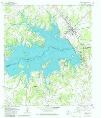
1971 Map of Somerville
USGS Topo · Published 1986About this map
The Somerville Dam and the expansive waters of Somerville Lake dominate this landscape, illustrating the 1970s transformation of the Yegua Creek valley. The town of Somerville sits at the northern end of the reservoir, its street grid and economy closely tied to the Atchison Topeka and Santa Fe railroad line. Recreational areas like Birch Creek State Park and Welch Park flank the shoreline, while the higher ground reveals older rural landmarks such as Rehburg and family-named cemeteries including Schoppe Cem and Lyons Cem. A network of small waterways, from Little Big Creek to Wolf Creek, feeds the lake across the Burleson and Washington county line. The presence of several country churches, including Sweet Home Ch and Gethsemane Zion Hill Ch, provides a clear view of the dispersed community structure that existed alongside the developing water-resource infrastructure.
Find a feature on this map
47 named features on this map. Tap any name to fly to it.
Don’t see what you’re looking for? This feature index may not catch every label — zoom into the map to look around manually.
Map Details
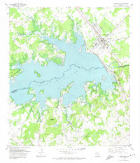
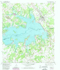
Editions of this 1971 Somerville Map
3 editions found
Other maps of this area

1914 · Gay Hill
USGS Topo · 1:62,500

1930 · Brenham
USGS Topo · 1:62,500

1954 · Austin
USGS Topo · 1:250,000

1956 · Brenham
USGS Topo · 1:62,500

1956 · Somerville
USGS Topo · 1:62,500

1958 · Carmine
USGS Topo · 1:24,000

1958 · Burton
USGS Topo · 1:24,000

1959 · Flag Pond
USGS Topo · 1:24,000

1959 · Gay Hill
USGS Topo · 1:24,000

1959 · Somerville
USGS Topo · 1:24,000