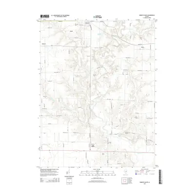
2015 Map of Sorento South
USGS Topo · Published 2015About this map
Shoal Creek meanders through the heart of this Bond County landscape, defining the topography of the central and southern reaches. The settlement of Sorento sits at the northern edge, supported by the Sorento Reservoir and a grid of rural avenues like Sunnyside Ave and Sorento Ave. To the south, the village of Old Ripley serves as a local hub near Nance Airport, while smaller hamlets like Bunje, Gilmore, and Reno anchor the surrounding agricultural lands.
Find a feature on this map
74 named features on this map. Tap any name to fly to it.
Don’t see what you’re looking for? This feature index may not catch every label — zoom into the map to look around manually.
Map Details
Editions of this 2015 Sorento South Map
This is the sole edition of this map. No revisions or reprints were ever made.
Other maps of this area

1915 · Mount Olive
USGS Topo · 1:62,500

1932 · Greenville
USGS Topo · 1:62,500

1937 · New Douglas
USGS Topo · 1:48,000

1939 · Greenville
USGS Topo · 1:62,500

1943 · Greenville
USGS Topo · 1:62,500

1944 · New Douglas
USGS Topo · 1:62,500

1944 · Mount Olive
USGS Topo · 1:62,500

1947 · Hillsboro
USGS Topo · 1:62,500

1949 · Hillsboro
USGS Topo · 1:62,500

1958 · Decatur
USGS Topo · 1:250,000