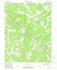
1968 Map of South Anna
USGS Topo · Published 1981About this map
Three Chopt Road cuts a diagonal path through this rural landscape, following a historic travel route that predates modern highway alignments. Running through the heart of the region, this road connects the scattered settlements of Hadensville, East Leake, and Gum Spring. The topography is defined by the winding course of the South Anna River and its numerous tributaries, including Deep Creek and Big Lickinghole Creek, which carved the undulating terrain of the Piedmont.
Find a feature on this map
30 named features on this map. Tap any name to fly to it.
Don’t see what you’re looking for? This feature index may not catch every label — zoom into the map to look around manually.
Map Details
Editions of this 1968 South Anna Map
2 editions found
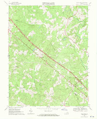
Other maps of this area

1890 · Goochland
USGS Topo · 1:125,000

1891 · Palmyra
USGS Topo · 1:125,000

1892 · Goochland
USGS Topo · 1:125,000

1895 · Palmyra
USGS Topo · 1:125,000

1897 · Palmyra
USGS Topo · 1:125,000

1942 · Pendleton
USGS Topo · 1:24,000

1942 · Buckner
USGS Topo · 1:24,000

1943 · Goochland
USGS Topo · 1:31,680

1943 · Perkinsville
USGS Topo · 1:31,680

1943 · Pendleton
USGS Topo · 1:31,680