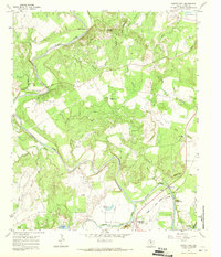
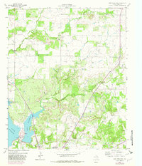
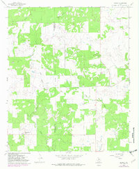
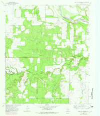
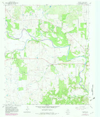
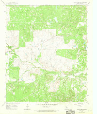
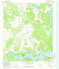
1967 Map of South Bend
USGS Topo · Published 1970This historical map portrays the area of South Bend in 1967, primarily covering Young County. Featuring a scale of 1:24000, this map provides a highly detailed snapshot of the terrain, roads, buildings, counties, and historical landmarks in the South Bend region at the time. Published in 1970, it is one of 2 known editions of this map due to revisions or reprints.
Find a feature on this map
37 named features on this map. Tap any name to fly to it.
Don’t see what you’re looking for? This feature index may not catch every label — zoom into the map to look around manually.
Map Details
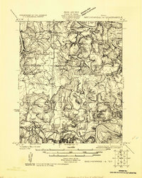
Editions of this 1967 South Bend Map
2 editions found
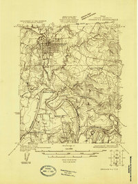
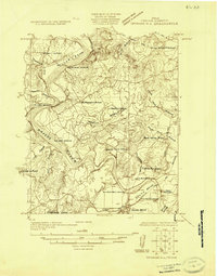
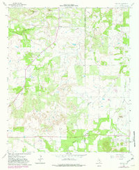
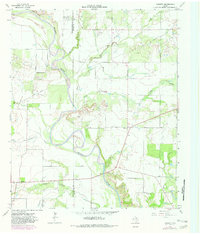
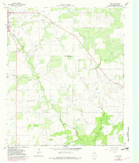
Historical Maps of Young County Through Time
14 maps found
1924 Breckenridge 1-a
Young County, TX
1924 Graham 4-d
Young County, TX
1925 Graham 4-c
Young County, TX
1964 Lake Eddleman
Young County, TX
1964 Markley
Young County, TX
1964 Padgett
Young County, TX
1964 True
Young County, TX
1966 Murray
Young County, TX
1966 Proffitt Crossing
Young County, TX
1966 Proffitt
Young County, TX
1966 Tackett Mountain
Young County, TX
1967 Cove Creek
Young County, TX
1967 Ross Mountain
Young County, TX
1967 South Bend
Young County, TX