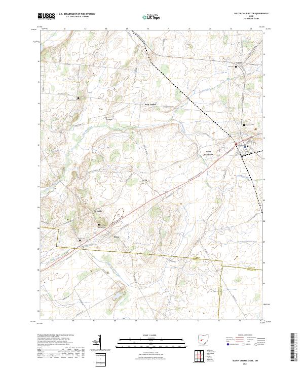
2023 Map of South Charleston
USGS Topo · Published 2023About this map
South Charleston and its surrounding rural landscapes in Clark County are defined by the convergence of several historic road networks and the winding path of the Little Miami River. This survey captures the agricultural and village character of the region, where numerous small settlements like Lisbon and Selma serve as nodes in a web of family-named thoroughfares. Local genealogy is well-preserved through a high density of burial sites, ranging from the Old Quaker Cemetery and Selma Methodist Episcopal Cemetery to family-named markers like Buffenbarger Cemetery. The landscape transitions from the river valley to the north through the headwaters of North Fork Massies Creek, reflecting a quiet midwestern topography of rolling farmland and scattered crossroads like Dolly Varden and Cortsville.
Find a feature on this map
68 named features on this map. Tap any name to fly to it.
Don’t see what you’re looking for? This feature index may not catch every label — zoom into the map to look around manually.
Map Details
Editions of this 2023 South Charleston Map
This is the sole edition of this map. No revisions or reprints were ever made.
Other maps of this area

1904 · Springfield
USGS Topo · 1:62,500

1906 · Springfield
USGS Topo · 1:62,500

1907 · South Charleston
USGS Topo · 1:62,500

1916 · Octa
USGS Topo · 1:62,500

1917 · Xenia
USGS Topo · 1:62,500

1944 · Octa
USGS Topo · 1:62,500

1947 · Columbus
USGS Topo · 1:250,000

1954 · Clifton
USGS Topo · 1:24,000
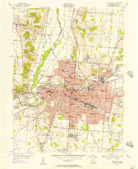
1955 · Springfield
USGS Topo · 1:24,000

1955 · Cedarville
USGS Topo · 1:24,000