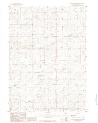
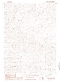
1984 Map of South Fork Reservoir
USGS Topo · Published 1984About this map
The North Fork Cheyenne River and South Fork Cheyenne River converge in this high-plains landscape of Converse County, Wyoming. The terrain is defined by a complex drainage system, where intermittent waterways like Prairie Dog Draw, Cottonwood Draw, and Aguilar Spring Draw cut through the arid ranching country. Evidence of water management for livestock and local needs is visible in the presence of South Fork Reservoir, Eskew No 2 Reservoir, and Lone Pine Res. A prominent Divide runs through the northern portion of the area, separating the primary river forks. This provisional data shows the sparsely populated ranching territory before significant modern development, focusing on the natural water features and topographical breaks that dictated land use in this part of the Wyoming interior.
Find a feature on this map
16 named features on this map. Tap any name to fly to it.
Don’t see what you’re looking for? This feature index may not catch every label — zoom into the map to look around manually.
Map Details
Editions of this 1984 South Fork Reservoir Map
This is the sole edition of this map. No revisions or reprints were ever made.
Other maps of this area

1955 · Newcastle
USGS Topo · 1:250,000

1958 · Newcastle
USGS Topo · 1:250,000

1959 · Fifty-Five Ranch
USGS Topo · 1:62,500

1959 · Coal Draw
USGS Topo · 1:62,500
1959 · Highland Flats
USGS Topo · 1:62,500

1960 · Ross
USGS Topo · 1:62,500

1979 · Bill
USGS Topo · 1:100,000
1984 · Marsh Draw
USGS Topo · 1:24,000
1984 · Gumbo Hill
USGS Topo · 1:24,000
1984 · Holdup Hollow
USGS Topo · 1:24,000