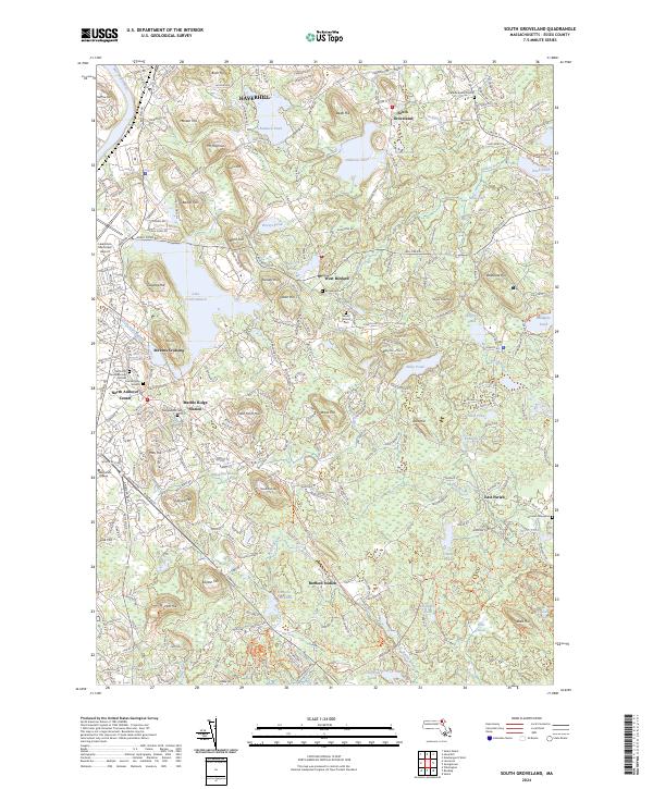
2024 Map of South Groveland
USGS Topo · Published 2024About this map
The hills and glacial basins of southern Essex County define this landscape, where early colonial history meets modern academic and residential growth. In the west, North Andover Center serves as a focal point for local history, anchored by the Old North Parish Burying Ground and First Burying Ground. The legacy of 19th-century transit is visible in the corridor of the Essex Railroad Rail Trl, which passes near Marble Ridge Station and Stevens Crossing.
Find a feature on this map
61 named features on this map. Tap any name to fly to it.
Don’t see what you’re looking for? This feature index may not catch every label — zoom into the map to look around manually.
Map Details
Editions of this 2024 South Groveland Map
This is the sole edition of this map. No revisions or reprints were ever made.
Other maps of this area

1886 · Lawrence
USGS Topo · 1:62,500

1888 · Newburyport
USGS Topo · 1:62,500

1888 · Haverhill
USGS Topo · 1:62,500

1888 · Lawrence
USGS Topo · 1:62,500

1888 · Salem
USGS Topo · 1:62,500

1890 · Haverhill
USGS Topo · 1:62,500

1890 · Newburyport
USGS Topo · 1:62,500

1893 · Salem
USGS Topo · 1:62,500

1893 · Lawrence
USGS Topo · 1:62,500

1893 · Haverhill
USGS Topo · 1:62,500