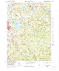
1966 Map of South Groveland
USGS Topo · Published 1979About this map
The Merrimack River flows through the northwest corner of this Essex County landscape, marking the industrial and residential development of Ward Hill and South Groveland during the late 1960s and 1970s. The region is defined by a dense network of glacial hills and ponds, including Lake Cochichewick and the expansive woodlands of Harold Parker State Forest and Boxford State Forest. The presence of the Boston and Maine Railroad and institutions like Merrimack College illustrate the transition from early farming and milling to a suburban and educational hub.
Find a feature on this map
114 named features on this map. Tap any name to fly to it.
Don’t see what you’re looking for? This feature index may not catch every label — zoom into the map to look around manually.
Map Details
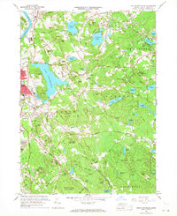
Editions of this 1966 South Groveland Map
2 editions found
Other maps of this area

1886 · Lawrence
USGS Topo · 1:62,500

1888 · Newburyport
USGS Topo · 1:62,500

1888 · Haverhill
USGS Topo · 1:62,500

1888 · Lawrence
USGS Topo · 1:62,500

1888 · Salem
USGS Topo · 1:62,500

1890 · Haverhill
USGS Topo · 1:62,500

1890 · Newburyport
USGS Topo · 1:62,500

1893 · Salem
USGS Topo · 1:62,500

1893 · Lawrence
USGS Topo · 1:62,500

1893 · Haverhill
USGS Topo · 1:62,500