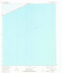
1962 Map of South of Star Lake
USGS Topo · Published 1978About this map
The Gulf of Mexico dominates this coastal landscape along the southeastern edge of Jefferson County, where the Texas shoreline meets the sea. A thin sliver of land in the upper corner provides a window into the industrial and transit character of the region during the early 1960s, featuring a lonely Oil Well and the path of Highway 87 hugging the coast. The map illustrates the precarious relationship between the land and the tides, with a low-lying marshy interface and expansive offshore soundings that reflect the shallow, sandy nature of this stretch of the Texas Gulf Coast. This edition, which includes 1974 photorevisions, documents the physical geography and man-made infrastructure at the edge of the state just before years of coastal erosion and environmental shifts would alter the shoreline.
Find a feature on this map
3 named features on this map. Tap any name to fly to it.
Don’t see what you’re looking for? This feature index may not catch every label — zoom into the map to look around manually.
Map Details
Editions of this 1962 South of Star Lake Map
2 editions found
Other maps of this area

1950 · Houston
USGS Topo · 1:250,000

1956 · Houston
USGS Topo · 1:250,000

1961 · Star Lake
USGS Topo · 1:24,000

1961 · Mud Lake
USGS Topo · 1:24,000
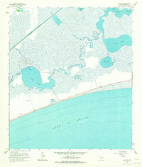
1961 · Clam Lake
USGS Topo · 1:24,000
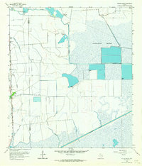
1962 · Whites Ranch
USGS Topo · 1:24,000
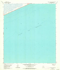
1962 · South of Star Lake
USGS Topo · 1:24,000

1975 · Houston
USGS Topo · 1:250,000
1983 · Galveston
USGS Topo · 1:100,000
1983 · Anahuac
USGS Topo · 1:100,000