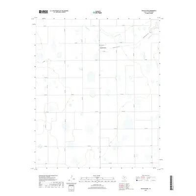
2019 Map of South Plains
USGS Topo · Published 2019About this map
South Plains serves as the primary settlement on this Floyd County landscape, centered around the junction of Highway 207 and local routes like Edwards St. The town includes a local Po, acting as a hub for the surrounding agricultural region. The terrain is defined by the winding course of Quitaque Cr in the northeast, which carves a distinct path through the otherwise regular grid of county roads. This transition from the flat plains to the canyon breaks is marked by the Quitaque Canyon Trail, indicating the rugged descent toward the Red River watershed. The vast network of section roads, including Fm 2286 and Fm 97, illustrates the systematic land division and ranching infrastructure characteristic of the Texas Panhandle in the early 21st century.
Find a feature on this map
22 named features on this map. Tap any name to fly to it.
Don’t see what you’re looking for? This feature index may not catch every label — zoom into the map to look around manually.
Map Details
Editions of this 2019 South Plains Map
This is the sole edition of this map. No revisions or reprints were ever made.
Other maps of this area

1954 · Plainview
USGS Topo · 1:250,000

1958 · Plainview
USGS Topo · 1:250,000

1965 · Whiteley
USGS Topo · 1:24,000

1965 · Lockney SE
USGS Topo · 1:24,000

1965 · Silverton SW
USGS Topo · 1:24,000

1965 · Lockney
USGS Topo · 1:24,000

1966 · Sterley
USGS Topo · 1:24,000

1966 · South Plains
USGS Topo · 1:24,000

1966 · Lockney 4 SW
USGS Topo · 1:24,000

1967 · Edgemon Lake
USGS Topo · 1:24,000