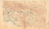
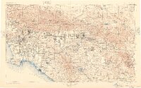
1901 Map of Southern California Sheet No. 1
USGS Topo · Published 1910About this map
San Gabriel Timber Land Reserve and the San Bernardino Forest Reserve dominate the northern skyline of this turn-of-the-century landscape, a time when Southern California was a network of burgeoning citrus towns and coastal ports. The reach of the Southern Pacific R. R. and Santa Fe R. R. dictates the pattern of growth, connecting established hubs like Pasadena and San Bernardino to emerging coastal destinations including Santa Monica and Redondo.
Find a feature on this map
123 named features on this map. Tap any name to fly to it.
Don’t see what you’re looking for? This feature index may not catch every label — zoom into the map to look around manually.
Map Details
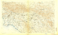
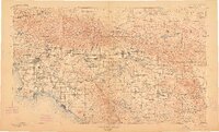
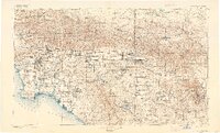
Editions of this 1901 Southern California Sheet No. 1 Map
6 editions found

Other maps of this area

1894 · Los Angeles
USGS Topo · 1:62,500

1894 · Pomona
USGS Topo · 1:62,500

1896 · Santa Ana
USGS Topo · 1:62,500

1896 · Pasadena
USGS Topo · 1:62,500

1896 · Anaheim
USGS Topo · 1:62,500

1896 · Redondo
USGS Topo · 1:62,500

1896 · San Bernardino
USGS Topo · 1:62,500

1896 · Las Bolsas
USGS Topo · 1:62,500

1896 · Santa Monica
USGS Topo · 1:62,500

1896 · San Pedro
USGS Topo · 1:62,500