
1904 Map of Southern California Sheet No. 2
USGS Topo · Published 1904About this map
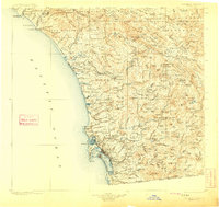
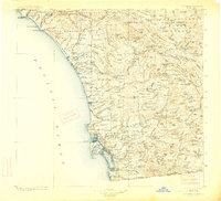
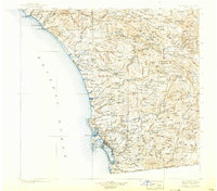
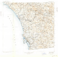
San Diego and its surrounding back country appear here in the early twentieth century, showing a landscape defined by expansive Spanish land grants and nascent coastal rail lines. The Southern California R.R. skirts the coastline from San Juan Capistrano through Oceanside and Carlsbad, connecting these seaside towns to the growing urban center at San Diego. Inland, the map documents numerous sovereign tribal lands such as the Pala Indian Res. and Capitan Grande Indian Res., alongside massive ranchos like Santa Margarita y Las Flores and Monserate.
Find a feature on this map
277 named features on this map. Tap any name to fly to it.
Don’t see what you’re looking for? This feature index may not catch every label — zoom into the map to look around manually.
Map Details
Editions of this 1904 Southern California Sheet No. 2 Map
5 editions found
Other maps of this area

1893 · El Cajon
USGS Topo · 1:62,500

1893 · Oceanside
USGS Topo · 1:62,500

1893 · Escondido
USGS Topo · 1:62,500

1896 · Santa Ana
USGS Topo · 1:62,500

1898 · Oceanside
USGS Topo · 1:62,500

1901 · Southern California Sheet No. 1
USGS Topo · 1:250,000

1901 · Elcajon
USGS Topo · 1:62,500

1901 · Santa Ana
USGS Topo · 1:62,500

1901 · San Jacinto
USGS Topo · 1:125,000

1901 · Elsinore
USGS Topo · 1:125,000