
1958 Map of Spades
USGS Topo · Published 1959About this map
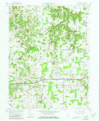
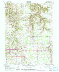
The Greenville Treaty Line cuts diagonally across this landscape, marking a historical boundary that predates the modern grid of Franklin, Ripley, and Dearborn counties. In the late 1950s, this region was defined by its tightly-knit rural communities, often centered around parish life as seen at St Marys Ch, St Peters Ch, and St Stephens Ch. Small crossroads settlements like Klemmes Corner, Youngs Corner, and Oak Tree Crossroads served as local hubs amidst a terrain dissected by Indian Pipe Creek and Blue Creek. The southern portion of the map shows the influence of early transportation, with the Central railroad line passing through the town of Spades and Penntown. This survey provides a look at a transitional era where traditional farming patterns met modern infrastructure, evidenced by the emerging Pipelines and the industrial Pumping Sta near Lawrenceville.
Find a feature on this map
41 named features on this map. Tap any name to fly to it.
Don’t see what you’re looking for? This feature index may not catch every label — zoom into the map to look around manually.
Map Details
Editions of this 1958 Spades Map
3 editions found
Other maps of this area

1915 · Lawrenceburg
USGS Topo · 1:48,000

1915 · Harrison
USGS Topo · 1:48,000

1928 · Lawrenceburg
USGS Topo · 1:62,500

1932 · Lawrenceburg
USGS Topo · 1:62,500

1943 · Guilford
USGS Topo · 1:24,000

1946 · Pierceville
USGS Topo · 1:24,000

1946 · Batesville
USGS Topo · 1:24,000

1953 · Guilford
USGS Topo · 1:24,000

1953 · Cincinnati
USGS Topo · 1:250,000

1955 · Mount Carmel
USGS Topo · 1:24,000