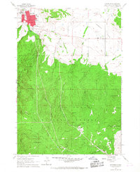
1961 Map of Spearfish
USGS Topo · Published 1968About this map
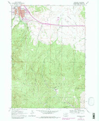
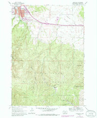
Spearfish serves as the focal point of this 1961 survey, situated at the edge of the Black Hills National Forest. The town's institutional character is defined by the Black Hills Teachers College and a central Po near the High Sch. The landscape to the south quickly rises into the high elevations of Spearfish Peak and Richmond Hill, while the northern reaches open into the Centennial Prairie.
Find a feature on this map
37 named features on this map. Tap any name to fly to it.
Don’t see what you’re looking for? This feature index may not catch every label — zoom into the map to look around manually.
Map Details
Editions of this 1961 Spearfish Map
6 editions found
Other maps of this area

1894 · Deadwood
USGS Topo · 1:125,000

1899 · Sturgis
USGS Topo · 1:62,500

1900 · Spearfish
USGS Topo · 1:62,500

1901 · Deadwood
USGS Topo · 1:125,000

1905 · Saint Onge
USGS Topo · 1:62,500

1907 · Belle Fourche
USGS Topo · 1:125,000

1907 · Redwater
USGS Topo · 1:62,500

1915 · Spearfish
USGS Topo · 1:62,500

1915 · Sturgis
USGS Topo · 1:62,500

1916 · Deadwood
USGS Topo · 1:125,000