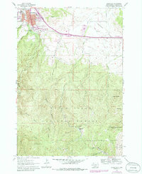
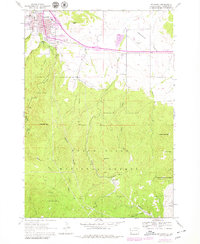
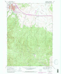
1961 Map of Spearfish
USGS Topo · Published 1986About this map
Spearfish serves as a gateway to the steep canyons and peaks of the northern Black Hills National Forest in this 1961 survey, photorevised in 1979. The town is home to Black Hills State College and the local High School, with development spreading toward Hungry Hollow and the base of Lookout Peak. To the south, the landscape shifts from town streets to the dense drainage networks of the Black Hills, where numerous named gulches like Rubicon Gulch and Sheeptail Gulch carve through the limestone terrain. The small community of Maitland sits nestled along Paradise Gulch near the Mount Theodore Roosevelt Monument, reflecting the area's transition from early mining interests to a landscape defined by forestry and recreation. The presence of the Fish Hatchery and Canyon Campground along Spearfish Creek highlights the enduring importance of these mountain waters to the local economy and identity.
Find a feature on this map
46 named features on this map. Tap any name to fly to it.
Don’t see what you’re looking for? This feature index may not catch every label — zoom into the map to look around manually.
Map Details
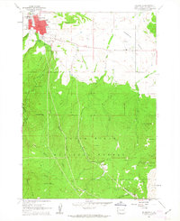
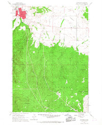
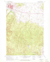
Editions of this 1961 Spearfish Map
6 editions found
Other maps of this area

1894 · Deadwood
USGS Topo · 1:125,000

1899 · Sturgis
USGS Topo · 1:62,500

1900 · Spearfish
USGS Topo · 1:62,500

1901 · Deadwood
USGS Topo · 1:125,000

1905 · Saint Onge
USGS Topo · 1:62,500

1907 · Belle Fourche
USGS Topo · 1:125,000

1907 · Redwater
USGS Topo · 1:62,500

1915 · Spearfish
USGS Topo · 1:62,500

1915 · Sturgis
USGS Topo · 1:62,500

1916 · Deadwood
USGS Topo · 1:125,000