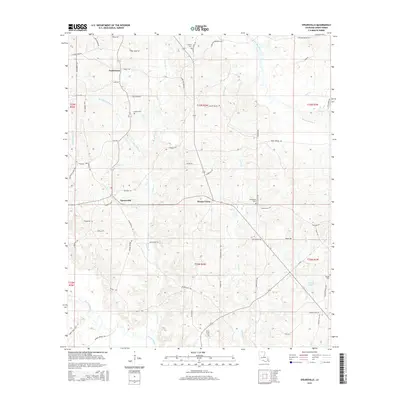
2015 Map of Spearsville
USGS Topo · Published 2015About this map
Spearsville serves as the central hub of this north Louisiana landscape, situated among a network of rural routes and creek crossings. The settlement pattern is defined by family-named landmarks and country churches, with small hamlets like Taylortown and Mount Union anchoring the surrounding timber and farmland. Numerous cemeteries, including Antioch Cem, Canaan Cem, and Liberty Cem, are scattered across the terrain, providing essential points of interest for genealogists tracing Union Parish roots.
Find a feature on this map
76 named features on this map. Tap any name to fly to it.
Don’t see what you’re looking for? This feature index may not catch every label — zoom into the map to look around manually.
Map Details
Editions of this 2015 Spearsville Map
This is the sole edition of this map. No revisions or reprints were ever made.
Other maps of this area

1927 · El Dorado
USGS Topo · 1:62,500

1930 · El Dorado
USGS Topo · 1:62,500

1933 · Strong
USGS Topo · 1:62,500

1937 · Strong
USGS Topo · 1:62,500

1939 · Strong
USGS Topo · 1:62,500

1951 · Bernice
USGS Topo · 1:62,500

1951 · El Dorado
USGS Topo · 1:62,500

1952 · Farmerville
USGS Topo · 1:62,500

1953 · El Dorado
USGS Topo · 1:250,000

1955 · Shreveport
USGS Topo · 1:250,000