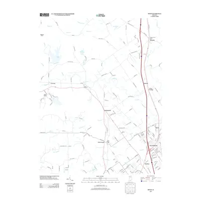
2013 Map of Speed
USGS Topo · Published 2013About this map
Sellersburg and Hamburg serve as primary anchors in this 2013 survey of Clark County, documenting a landscape where suburban growth meets established rural hamlets. The terrain is defined by the Waggoner Knobs to the west and the riparian corridors of Silver Cr and Muddy Fork to the east. Transportation remains central to the area's layout, with the L & N RR corridor and major roadways connecting historic settlements like Memphis, Bennettsville, and Speed.
Find a feature on this map
164 named features on this map. Tap any name to fly to it.
Don’t see what you’re looking for? This feature index may not catch every label — zoom into the map to look around manually.
Map Details
Editions of this 2013 Speed Map
This is the sole edition of this map. No revisions or reprints were ever made.
Other maps of this area
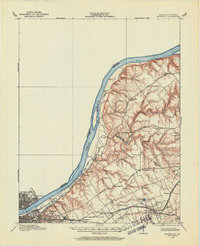
1905 · Prospect
USGS Topo · 1:62,500
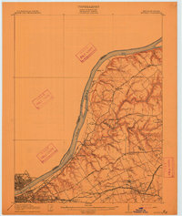
1912 · Prospect
USGS Topo · 1:62,500
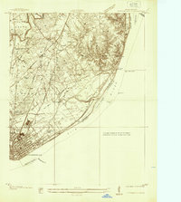
1937 · Jeffersonville
USGS Topo · 1:24,000
1937 · Charlestown
USGS Topo · 1:24,000
1938 · Speed
USGS Topo · 1:24,000
1939 · New Albany
USGS Topo · 1:24,000
1939 · Georgetown
USGS Topo · 1:24,000
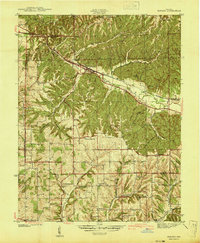
1941 · Borden
USGS Topo · 1:24,000
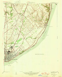
1946 · Jeffersonville
USGS Topo · 1:24,000
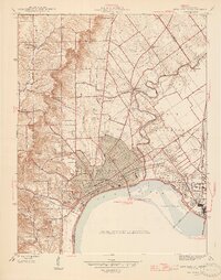
1946 · New Albany
USGS Topo · 1:24,000