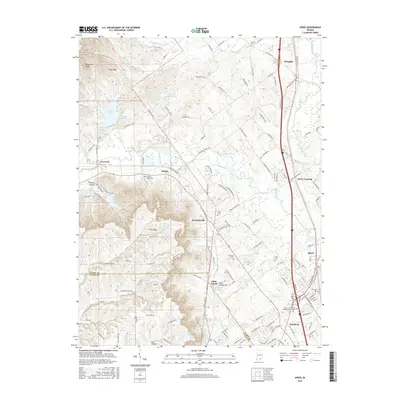
2016 Map of Speed
USGS Topo · Published 2016About this map
Waggoner Knobs and Timer Ridge anchor the western reaches of this Clark County landscape, where the terrain drops into the drainage basins of the Muddy Fork and Silver Creek. The area is characterized by several small crossroads communities, including Bennettsville and Wilson, which remain distinct amidst the expanding suburban influence of the Interstate 65 corridor. To the north, Deam Lake and the smaller Lake Hideaway provide significant water features in an otherwise wooded and agricultural setting.
Find a feature on this map
148 named features on this map. Tap any name to fly to it.
Don’t see what you’re looking for? This feature index may not catch every label — zoom into the map to look around manually.
Map Details
Editions of this 2016 Speed Map
This is the sole edition of this map. No revisions or reprints were ever made.
Other maps of this area
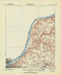
1905 · Prospect
USGS Topo · 1:62,500
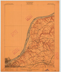
1912 · Prospect
USGS Topo · 1:62,500
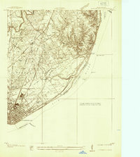
1937 · Jeffersonville
USGS Topo · 1:24,000
1937 · Charlestown
USGS Topo · 1:24,000
1938 · Speed
USGS Topo · 1:24,000
1939 · New Albany
USGS Topo · 1:24,000
1939 · Georgetown
USGS Topo · 1:24,000
1941 · Borden
USGS Topo · 1:24,000
1946 · Jeffersonville
USGS Topo · 1:24,000
1946 · New Albany
USGS Topo · 1:24,000