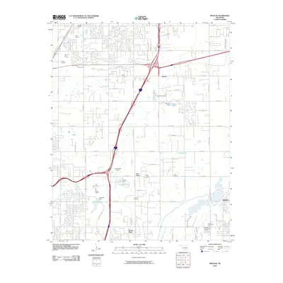
2010 Map of Spencer
USGS Topo · Published 2010About this map
Memorial Park Cemetery and the adjacent Hebrew Cemetery anchor the northwest corner of this suburban landscape northeast of Oklahoma City. The map captures a moment of intensive infrastructure development, dominated by the junction of the W John Kilpatrick Tpke and Interstate 44. This modern transportation corridor bisects established residential patterns and local landmarks, including the Wynn Airport and Expressway Airpark.
Find a feature on this map
59 named features on this map. Tap any name to fly to it.
Don’t see what you’re looking for? This feature index may not catch every label — zoom into the map to look around manually.
Map Details
Editions of this 2010 Spencer Map
This is the sole edition of this map. No revisions or reprints were ever made.
Other maps of this area
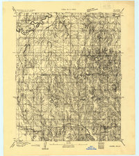
1892 · Moore
USGS Topo · 1:62,500
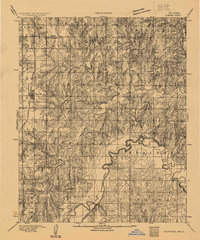
1892 · Edmond
USGS Topo · 1:62,500
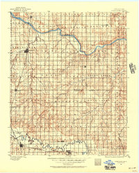
1892 · Kingfisher
USGS Topo · 1:125,000
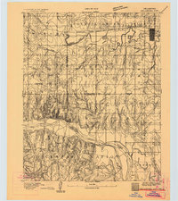
1893 · Oklahoma City
USGS Topo · 1:62,500
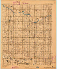
1895 · Kingfisher
USGS Topo · 1:125,000
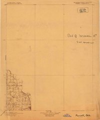
1898 · Purcell
USGS Topo · 1:125,000
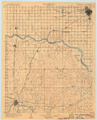
1904 · Chickasha
USGS Topo · 1:125,000
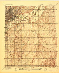
1934 · Crutcho Creek
USGS Topo · 1:24,000
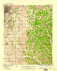
1934 · Moore
USGS Topo · 1:62,500
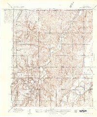
1935 · Spencer
USGS Topo · 1:24,000