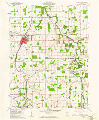
1960 Map of Spencerville
USGS Topo · Published 1961About this map
The Miami and Erie Canal (Abandoned) cuts a historical diagonal across this landscape, marking the evolution of Ohio transport as it parallels the Erie Lakawanna railroad through Spencerville. This 1960s-era survey captures the rural boundary between Allen and Auglaize Counties, where the Auglaize River meanders near Fort Amanda State Park. The map is particularly rich for genealogists, detailing several family and parish burial sites including St Patricks Cem, Fort Amanda Cem, and Pratt Cem.
Find a feature on this map
64 named features on this map. Tap any name to fly to it.
Don’t see what you’re looking for? This feature index may not catch every label — zoom into the map to look around manually.
Map Details
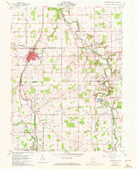
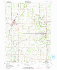
Editions of this 1960 Spencerville Map
3 editions found
Other maps of this area

1906 · Lima
USGS Topo · 1:62,500

1906 · Columbus Grove
USGS Topo · 1:62,500

1908 · Columbus Grove
USGS Topo · 1:62,500

1911 · Spencerville
USGS Topo · 1:62,500

1911 · Delphos
USGS Topo · 1:62,500

1944 · Delphos
USGS Topo · 1:62,500

1944 · Spencerville
USGS Topo · 1:62,500

1953 · Muncie
USGS Topo · 1:250,000

1956 · Muncie
USGS Topo · 1:250,000
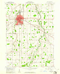
1960 · Delphos
USGS Topo · 1:24,000