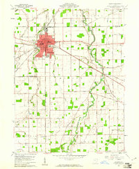
1960 Map of Delphos
USGS Topo · Published 1961About this map
The industrial and transport hub of Delphos sits at the intersection of the Pennsylvania and New York Chicago and St Louis railroads, straddling the line between Allen and Van Wert counties. While the modern era is defined by these rail corridors and a network of rural roads like Pohlman Road and Heidelbaugh Road, the landscape preserves the path of the Miami and Erie Canal (Abandoned). This waterway once drove the local economy before the shift to steam and steel.
Find a feature on this map
71 named features on this map. Tap any name to fly to it.
Don’t see what you’re looking for? This feature index may not catch every label — zoom into the map to look around manually.
Map Details
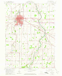
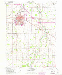
Editions of this 1960 Delphos Map
3 editions found
Other maps of this area

1906 · Lima
USGS Topo · 1:62,500

1906 · Columbus Grove
USGS Topo · 1:62,500

1908 · Columbus Grove
USGS Topo · 1:62,500

1911 · Spencerville
USGS Topo · 1:62,500

1911 · Delphos
USGS Topo · 1:62,500

1944 · Delphos
USGS Topo · 1:62,500

1944 · Spencerville
USGS Topo · 1:62,500

1953 · Muncie
USGS Topo · 1:250,000

1956 · Muncie
USGS Topo · 1:250,000
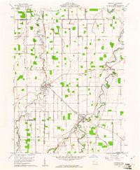
1960 · Ottoville
USGS Topo · 1:24,000