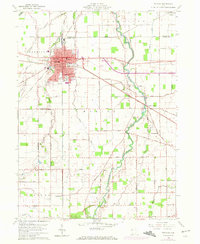
1960 Map of Delphos
USGS Topo · Published 1972About this map
The industrial and agricultural center of Delphos sits at the intersection of three counties, anchored by a dense network of civic and religious infrastructure. This 1960s landscape, updated in the early 1970s, reveals the city's complex logistics, where the Penn Central and Norfolk and Western railroads converge near the heart of town. A defining historical feature is the Miami and Erie Canal (Abandoned), which cuts a North-South path through the terrain, illustrating the shift from 19th-century water transport to 20th-century rail and road.
Find a feature on this map
62 named features on this map. Tap any name to fly to it.
Don’t see what you’re looking for? This feature index may not catch every label — zoom into the map to look around manually.
Map Details
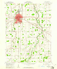
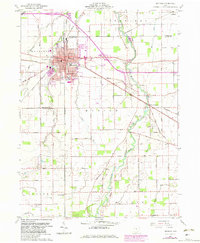
Editions of this 1960 Delphos Map
3 editions found
Other maps of this area

1906 · Lima
USGS Topo · 1:62,500

1906 · Columbus Grove
USGS Topo · 1:62,500

1908 · Columbus Grove
USGS Topo · 1:62,500

1911 · Spencerville
USGS Topo · 1:62,500

1911 · Delphos
USGS Topo · 1:62,500

1944 · Delphos
USGS Topo · 1:62,500

1944 · Spencerville
USGS Topo · 1:62,500

1953 · Muncie
USGS Topo · 1:250,000

1956 · Muncie
USGS Topo · 1:250,000
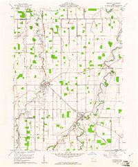
1960 · Ottoville
USGS Topo · 1:24,000